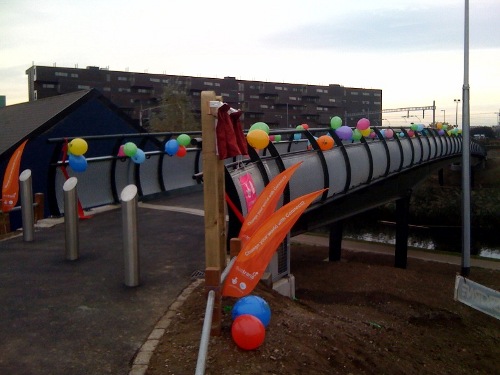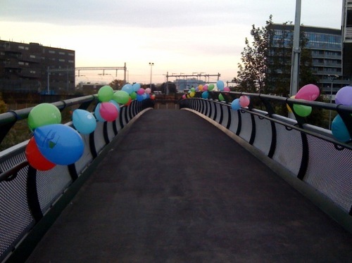
So, the Regent’s Canal has a new bridge across it – the Meath Bridge, connecting Meath Gardens in Bethnal Green, to Mile End Park in Bow, opened this morning. It was built partly with funds from the Sustrans Connect2 award – as one of the 70 or so projects in the scheme, that won the BIG Lottery fund TV competition at the end of 2007.
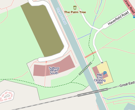
The bridge isn’t quite as useful as it could be, as an east-west link, because both the approaches to it are from a northerly direction – the eastern access ramp curves north to avoid the access road to Mile End Climbing Wall, and the western access ramp curves slightly north to avoid the new housing development on the south side of Meath Gardens. In fact it’s probably most useful for getting from Stepney Green to Victoria Park (i.e. a SW-NE link). Still, it’s a nice crossing to have, and in orienteering terms is particularly exciting, because it will allow future orienteering events in Mile End Park to easily include Meath Gardens, significantly increasing the “green” area of the map. Now, if only the link under the railway bridge to Queen Mary University could be opened…
Of course, the bridge is now on OpenStreetMap:

Let’s see how many months/years it takes before the bridge appears on Google Maps, Ordnance Survey mapping, or even Sustrans’ own map.

2 replies on “Meath Bridge Opening”
You’ll be pleased to note that the bridge will be marked in the Nicholson Waterways Guide Book 1 (using OS base mapping) due for publication in March 2012 largely thanks to your efforts.
Kind regards,
Jonathan
[…] This post was mentioned on Twitter by Ollie, Jonathan Bennett. Jonathan Bennett said: RT @oobr: The Meath Bridge across the @regentscanal opened this morning and, of course, it's already on OpenStreetMap: http://bit.ly/1R39l1 […]