As part of some recent work visualising and mapping London cycling, I identified five pieces of bike infrastructure in the city that I feel are worthy of highlighting. As is the way with most things related to London cycling, most of these have some controversy attached and here I try and justify why I think they deserved inclusion in my list.
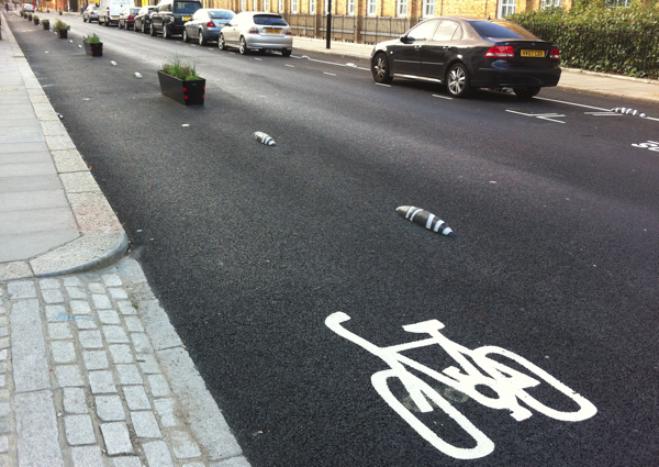
Armadillos, Royal College Street

Royal College Street has long been a flagship cycle facility for Camden Borough, with a wide pavement-based two-way cycle lane being at least 10 years old. However, with some incidents occurring at side-junctions due to motorists not expecting cyclists in both directions, the road has now been reconfigured so that both sides of the street have a cycle lane, and the lane is placed in the road. To stop cars parking in the lane, a mixture of flower planters and “armadillos” are used. Armadillos are compact plastic “bollards” which are small and unobtrusive – so easy to install – which is potentially very significant as a way to quickly increase the number and effectiveness of London’s cycle lanes. The configuration of Royal College Streets ensures the best of both worlds for cyclists – the lane is at road level so pedestrians don’t walk in it, but is separated from the road so motorists don’t park in it. Bus stops don’t interrupt the lane or cause it to swerve behind. The scheme is not perfect – the lanes are not quite wide enough and the route itself stops short of its main junction, and it remains to be seen if cyclists and disembarking passengers can share the same space safely – but still represents an innovative experiment and I hope that armadillos will be marching throughout London soon.
Cycle counter, Goldsmiths’ Row
The south-west to north-east route between Hackney Road and Hackney Central, via Broadway Market and London Fields, has long been popular with cycle commuters. Recently, a further part of the route was closed to vehicles and cyclists instead get the width of the road, rather than the pavement route which was a hazard to people entering the nearby city farm. This counter detects each passing cyclists with metal detectors under the road, and displays the stats on a board for all to see. It’s not perfect (the sensor can double-count or miss from time to time) but generally it shows 1000+ cycles a day, and hit the 100000 mark on 31 August – less than a month after being switched on on 5 August.
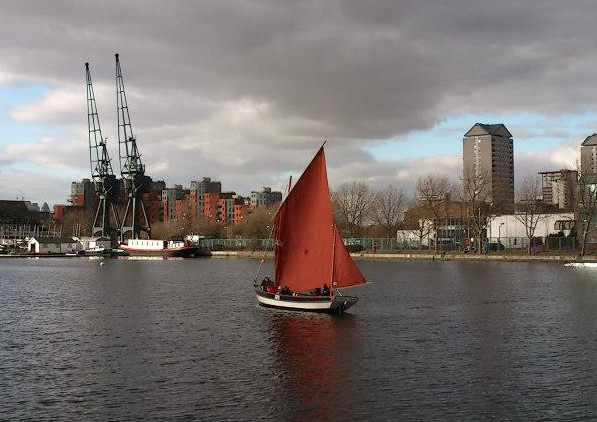
Floating towpath, Bow flyover
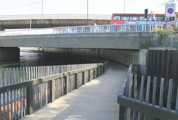
The Bow flyover junction has long been a physical barrier for cyclists heading up and down the Lea River – and an accident blackspot with two cyclist deaths on the roundabout level recently. This floating towpath was added underneath the roundabout recently, allowing a hassle-free route from Hackney Wick to Poplar and Limehouse. It joins two other “floating towpaths”, one upstream at Lea Bridge/Clapton, and one downstream near Bow Locks/Poplar. The sections are technically floating in that there is water under them, but they are perfectly solid to cycle over, and are subtly lit to allow safe usage at night.
Cycle repair stand, Great Guildford Street
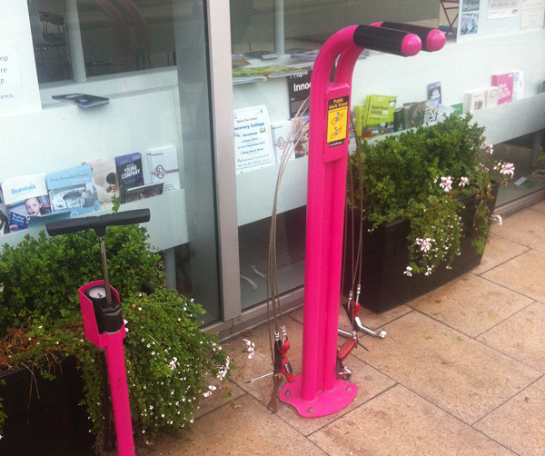
Every had a mechanical while out and about? I have had one many times, and if it’s the evening and the bike shops are not open, then a convoluted tube journey (or worse after 1am) often follows to get home and repatriate the bike or retrieve tools. However if you break down near Bankside, then this handy utility has all the tools you need, attached to wire. The stand itself will also support a bike’s weight while you work on it, and a pump beside (sadly broken at the moment) will help with flat tires. There is another stand in Paddington Station. Both are supplied by Cyclehoop – see also this map of all their public bicycle pumps.
Cycle lanes, Southwark Bridge
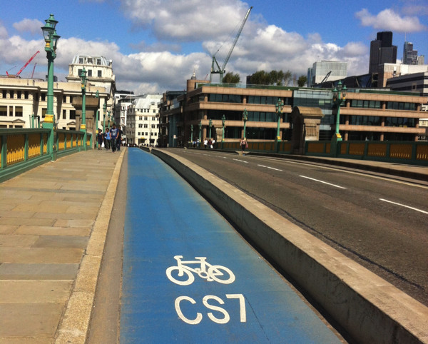
These layers are wide, allowing overtaking, and are segregated from both the road and from the pavement. Although they were built because Southwark Bridge was too weak to allow four-lane traffic, the space created represents the safest way to cross a London bridge by bicycle – and with the majority of morning commuter traffic on central London’s bridges being bicycles, it is a much-needed facility. The lane is prominently marked, being one of the better parts of the controversial Barclays Cycle Superhighway network.
To follow in my next post – five that were not in my list, and the reasons why.
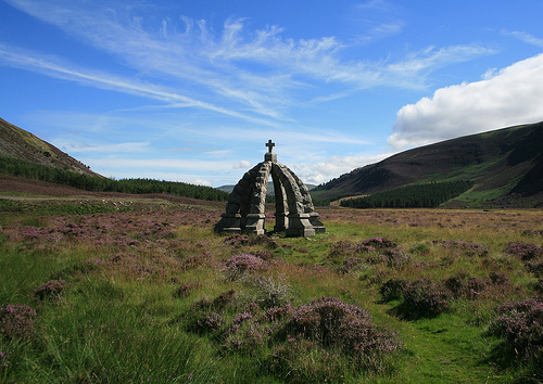
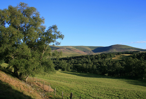
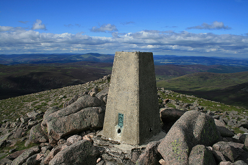
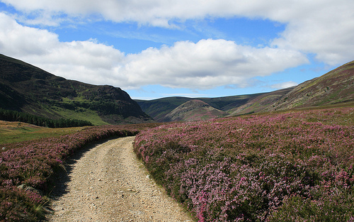
 The map this year is huge – printed on RA3 sheets (slightly bigger than A3) at 1:5000, as for previous years – but this year’s map is back-to-back, with only a small amount of overlap between the two sections. The map was drawn by Remo Madella of Rem Maps, and I have been getting to grips with OCAD recently to make late updates to the map and position courses. Remo was good enough to take some nice “touristic” photos of the terrain as he moved through it, a few of which I have included here.