Flush Tracker is an interesting map-based visualisation of a slightly taboo, and therefore amusing, subject. It’s based on Google Maps, and allows you to enter a postcode and elapsed time, and then “track” a toilet flush apparently move through the sewerage network, a blue line gradually extending along twists and turns, to the local treatment works. You can also view existing tracks, which generally appear to have just started their journey from “famous” places, such as 10 Downing Street, Buckingham Palace etc.
The tracks are intriguing, they often appear to be close to the road network, but not exactly on it, with a kink every few hundred metres, suggesting somehow the map is somehow aware of a real pipe network – information which has been traditionally locked away in the GIS databases of the various water companies – not even OS MasterMap has this data, as far as I am aware.
What’s actually happening is a clever bit of Javascript trickery. When you make a request, or load in a current request, the data that comes back to the browser is a simple lat/lon of the start and the end of the “journey”. The start point is based on a Google Maps geocode of a postcode you enter. The end point is a genuine location of the water treatment works that is geographically closest to you – even if it’s uphill, i.e. almost certainly not actually the one you are connected to. For example, west London postcodes generally result in a route moving uphill to the NW, even though London’s treatment works are located “downstream” to the east, at Beckton or Thamesmead.
The clever bit is showing the “route” as a realistic sequence of pipes rather than a straight line between the start and finish. This is achieved doing a Google Maps road routing request from the start to the finish, which sends back a list of coordinates, each corresponding to a turn or other road junction on the route. Twenty or so of these are then picked on a pseudo-random basis, and straight lines are drawn, in sequence, through the twenty turn-points and to the finish.
If you look carefully, you will see that a turn of the “pipe” route always occurs at a road junction, and that the overall route generally corresponds to the Google Maps suggested road route, with road curves and certain junctions missed out and replaced by straight lines.
So – not a sudden opening up of another network dataset by the water companies, but a nice bit of map “trickery” nonetheless.

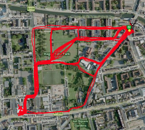
Left: Flush Tracker route. Right: Google Maps road route.

 Next door, the Leadenhall Building is due to commence construction in early 2011, it will be 225m high and also has a nickname, the Cheese Grater. Just up the road is the Heron Tower, 230m high and was completed in July, it opens early next year. Not far away is 20 Fenchurch Street, nicknamed the Walkie Talkie because of its bulging design, which is due to start construction any day now and will be 160m high. Finally, just across London Bridge, is the Shard, which will be the tallest of all – the main core has already risen 60 stories high, and the building will be 310m high when complete, again in 2012, making it the tallest building in the European Union. A photograph of the Shard under construction is on the right.
 An artist’s impression of the Pinnable is on the left. Three of the four buildings on the right of the picture have now been demolished – 30 St Mary Axe, popularly known as the Gherkin, remains, but the two square buildings will soon instead be replaced with the Cheese Grater and the Walkie Talkie. The building at the front has also been demolished and replaced with a new mid-level office building.