The point in Great Britain furthest from the coast is “just east of Church Flatts Farm, about a mile south-east of Coton in the Elms, Derbyshire” according to the Ordnance Survey in a snippet in this old BBC news article. (Update – featured in a later BBC news article here, and confirmed by the OS here.)
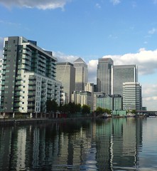
I see another challenge – getting to this point, and then biking from here to the coast. Here is the point, from zooming out, I can see there are coastal inlets that define this point – the Severn Channel near Glocester, the Runcorn near Liverpool, and the Wash near Kings Lynn. I don’t really fancy plowing through Birmingham to get to the first, and ending up in Liverpool will be a long way from my London base, so I’ll probably be heading East. National Cycle Route 63 is pretty much the route needed. Watch this space.
Also, Luke has been doing a similar kind of “targeting tourism” by trigpointing recently.
Staying on the geographic theme, a couple of cartography blogs: Mapping Hacks (I want the book!) and Ed Parsons, OS CTO.
 This was an interesting area – true “inner city” woodland, with several burnt out cars, wrecked motorbikes and event a burnt-out van at various points on the course. The area itself was suprisingly hilly too – 260m for a 5.9km course in SE England is pretty impressive – more so as this is inner city London. There is indeed an abbey in the woods too – just some ruined walls now, but a nice spot, surrounded by concrete housing estates…
 It’s always a good idea to pay very careful attention to the map when out orienteering.