I was at FOSS4G UK 2016 which took place at the new Ordnance Survey buildings in Southampton, a few weeks ago. FOSS4G is short for “Free and Open Source Software for Geospatial”, and the conference focuses on some of the key free GIS software such as QGIS and PostGIS. This was a UK-focused event, following on from the global FOSS4G in Nottingham in 2013, which I was also at. (The next FOSS4G is in Germany in August.)
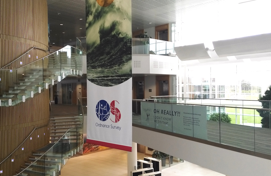
The OS is a little hard to get to if you aren’t driving there – I ended up cycling right through Southampton from the central station. Once on site though, it’s a lovely new venue, light and airy inside, with the floors and desks of OS cartographers and digital information managers sweeping away to one side of the central atrium, while the conference took place in a couple of large rooms on the other side. Breakout was overlooking the atrium (above). Around 180 people attended, split into two conference streams.
Highlights included:
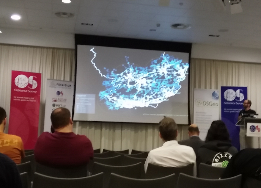
Above: A nice demo of pgRouting usage from Angus Council who’ve switched to open source for asset access mapping. Open and effective code and mapping in a practical, real world context.
Above: The software used for the Angus Council asset project.
![]()
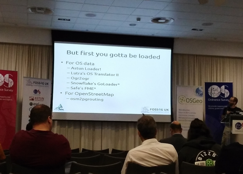
Above: Add Ordnance Survey Landranger-style hill chevrons to your GIS-created digital maps with this nice bit of code. I love these kinds of talks/demos, which you typically only get at these enthusiast/community-driven meetings like FOSS4G UK. Really interesting bits of code or hacks, demonstrated by the creator who did it just because they thought it would be cool.
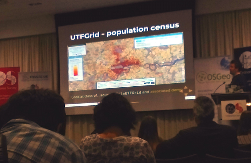
Above: I was pleased also to see DataShine getting a mention, specifically its use of OpenLayers UTFGrid for the attribute mouseovers. The talk was by a FOSS/OpenLayers consultant who’s written a book about the mapping platform, which powers most of my web maps. It’s always flattering to get mentions like this, especially as the speaker was probably unaware I was in the audience!
Outside in the atrium there was a mini-exhibition by the talk sponsors, including, intriguingly, ESRI UK, who are presumably keeping an eye on the FOSS4G community, their core business being far from open source (software), even if they have been very keen on demonstrating their products operating on open data.
FOSS4G UK was an interesting and useful couple of days, pulling together the professional and enthusiast geospatial community in the UK to see what’s happening in the space, and a good opportunity to network.
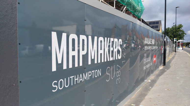
Above: “MapMakers”, a housing development next to the old Ordnance Survey office, which is on the way to the new one from the station. The inclusion of the OS grid reference is a nice touch.