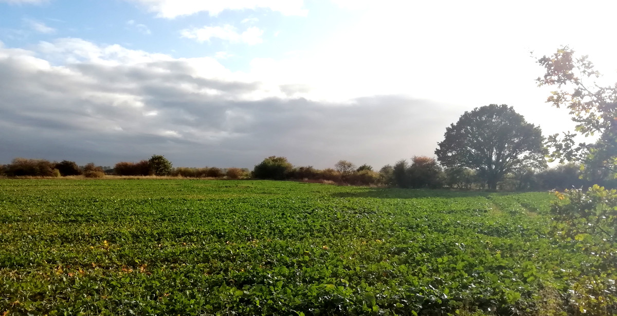
…is, roughly, at the small bush in the middle of this photo, on the corner of a field, around 100m south of Fen Lane. It’s a very rural spot – certainly far, in terms of distance and feeling, from the centre of the capital. It’s also part of the only significant area of London than is beyond the M25 motorway that otherwise encircles the capital. Why it is part of London is a historical quirk.
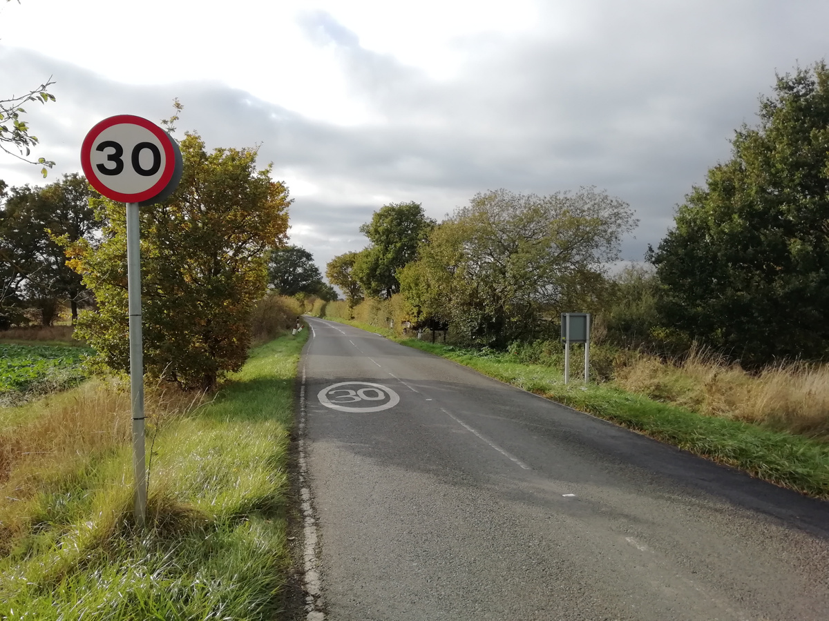
Fen Lane has no sign welcoming travellers along the road to London – the only sign that you are entering the city here is the sudden appearance of 30 mph signs and a very small street sign mentioning the borough that you are now in:
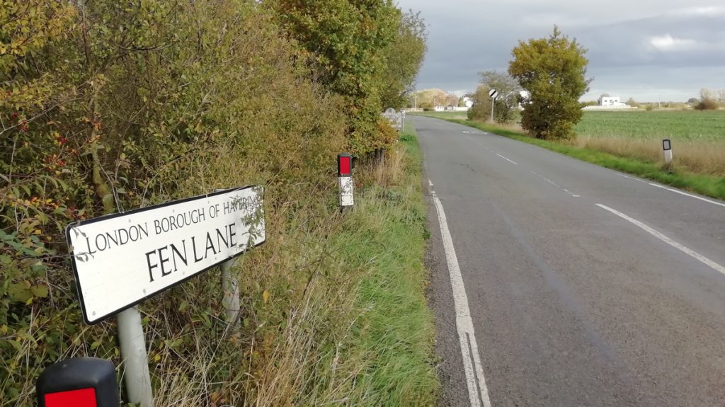
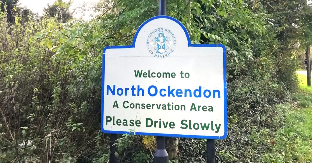
Further on, at the first hamlet, you do get a Welcome – but not to London, just to the London Borough of Havering:
Even once you are in this strange part of London, some of the road signs still point to “London” rather than “Central London”:
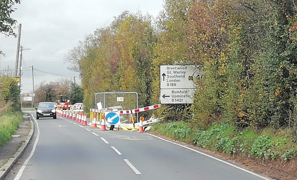
It can feel like this little corner doesn’t really want to be part of London at all. But it is:
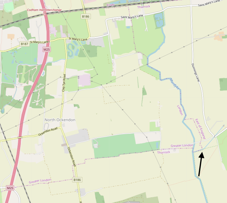
The East-most point of London is marked with the arrow, in the map extract above. Fen Lane is the narrow road just to the north. North Ockendon is the only London settlement of any significant size, outside of the M25.
I wonder if you are properly welcomed to London at any of the capital’s other boundary entry points?
© OpenStreetMap contributors.