There’s a big building project underway at the moment, High Speed 2 (HS2), and it’s taking a big dent out of my local borough, Hillingdon in west London. Hillingdon is where the forthcoming railway line will burst out of its tunnels from central London, before curving away from the Chiltern Mainline it has been running beside, onto a long viaduct across the Colne Valley, and out of the borough into another set of tunnels by the M25 orbital road, passing beneath the Chiltern Hills on its way to Birmingham and beyond.
Related major works currently include rerouting a large power line that would otherwise run across the viaduct, rerouting gas mains and water mains, straightening and rerouting several roads, building new electricity substations, building or enlarging various access roads for the above, building a “haul road” to run underneath the viaduct for constructing it, creating a factory for the concrete parts for the tunnels and viaduct, and building a long electrical supply cable to power the tunnel boring machines. Plus associated patching up of the existing infrastructure such as footpaths, bored out earth storage and the start of post-project landscaping.
It’s surprisingly hard to find out exactly the true extent of what is going on, at the current time. It’s a hugely complex project, and HS2 comms are therefore having to run local engagement activities in many different sections, all at the same time. The Hillingdon version is a bit of a mess, with updates coming as an incoherent set of PDFs and maps of various formats.
To see what’s going on, I took several trips around the area, crossing most of the places where the line will pass. There is no unified map showing the current areas under HS2’s control, so there were some surprises, with the “orange army” and green security fencing appearing in unexpected locations.
My intention is to visit the construction areas fairly regularly over the next few years, and see how they are changing. It’s fairly easy for me to get there and it’s a pleasant enough cycle.
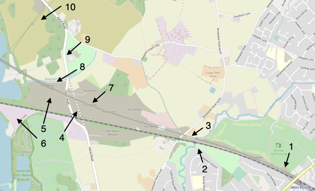
Starting at the point where HS2 emerges from tunnels, opposite West Ruislip station on the Central Line (and beside and just to the north of the Chiltern Mainline). There will be a tunnel portal here but work here is much less advanced than at the tunnel at the other end of the Colne Valley.
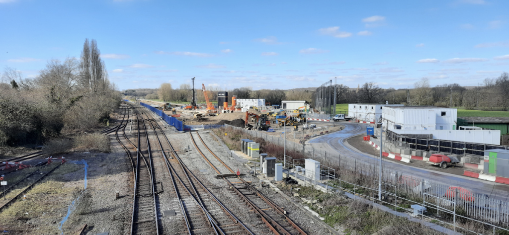
Ruislip golf course is closed, with HS2 taking a bite out of its southern edge (although the rest of it seems intact, so it’s odd the whole thing is closed). So, I took a route on the south side of the Chiltern Mainline insetad. It was rather a pleasant route, meandering through suburbia, woodland and grassy fields, passing a cricket pitch at one point, before suddenly you are at the River Pinn (of Pinner fame) and on the Celandine Route, a waymarked long distance through the borough. HS2 hoarding appears immediately on the other side of the nice bridge here, but the paths have been upgraded by the company contractors, having turned into a quagmire earlier in the winter.
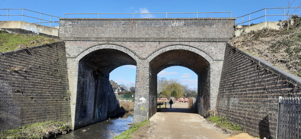
There is a short public footpath, U46, which I took here to get onto Brakespear Road South. This footpath runs directly underneath the HS2 route, so will vanish soon and will only reappear after works are finished, rerouted slightly to the north. For now, the path has HS2 fencing on both sides, accompanied by various dire warnings about a High Court injunction being in force to stop protestor camps (re)appearing in this area.
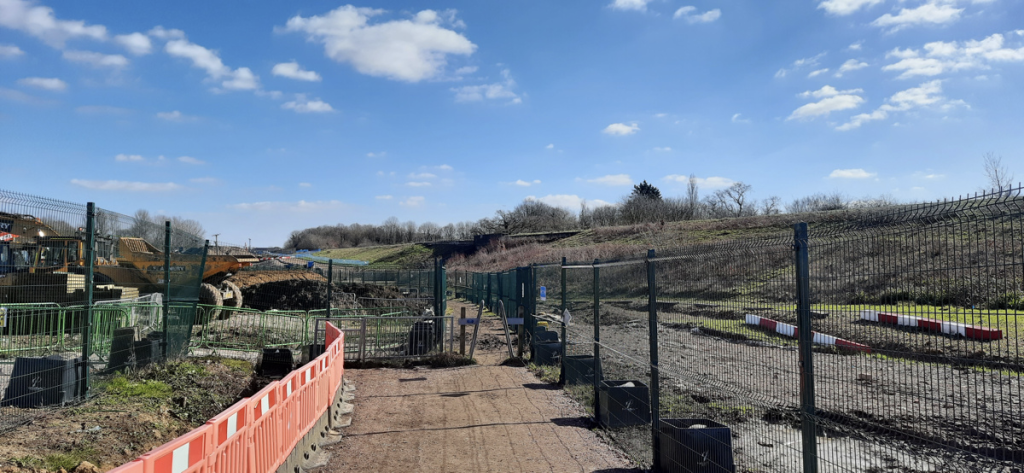
Crossing underneath the existing bridge for the Chiltern Mainline, I took another right of way (U50) which goes through rather waterlogged fields, before ending up at Harvil Road. This is not a pleasant road to cycle along, as the HS2 construction camps run for almost a mile, and the road itself is narrow and twisty (it is getting straightened and rerouted as part of the HS2 works).
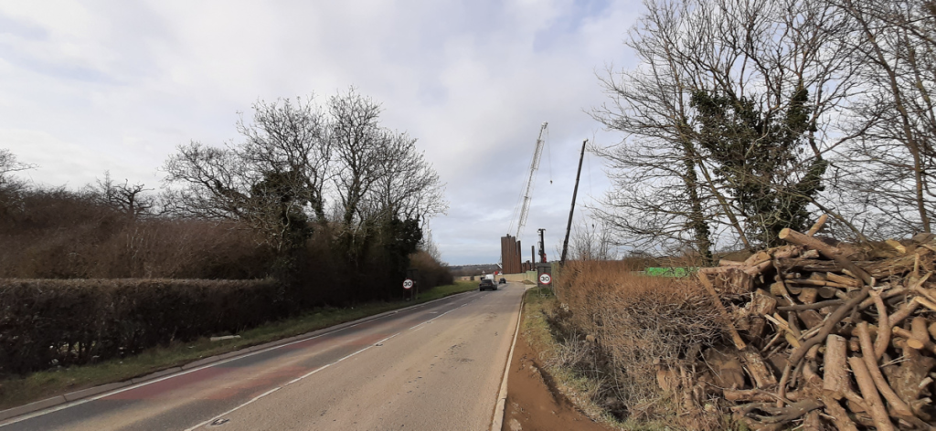
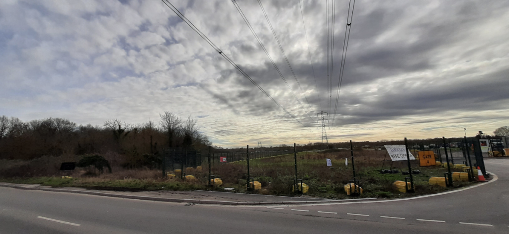
First you pass the worksite for the straightening work and a major water main rerouting, on the right. Then you pass a huge cutting (at least 20m deep) being dug out, then space for a power plant for powering the line, then the line itself, and finally further up on the left an access road being created for the the viaduct works, and one for the powerline rerouting and substation building.
There is, I think, an old public footpath that will be gone for ever, as it will sit under the line and the power plant. Another one nearby, across Harefield Moor, has been rerouted.
Finally, down to the Colne Valley itself and its forthcoming viaduct, but that’s for the next post…
3 replies on “High Speed 2 in Hillingdon”
[…] High Speed 2 in Hillingdon Oobrien […]
[…] High Speed 2 in Hillingdon Oobrien […]
[…] the first post in a mini-series, I looked at how High Speed 2 is impacting West Ruislip and Ickenham. In this second piece, I move slightly west, to look at the Colne Valley Viaduct. At 2.2 miles […]