This is one in a series of posts about possible High Lines for London. Look out for the next one tomorrow.
This is a potential High Line that might well happen, but in a radically different form to the current situation. Largely demolished, the raised Bishopsgate Goods Yard space is about to see a big change.
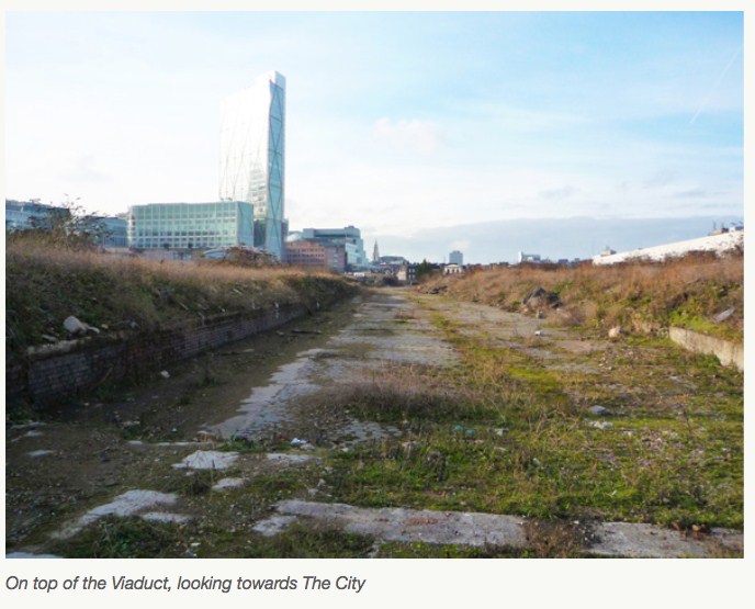
Sitting just south of the new Shoreditch High Street station (the other side from BoxPark), it was once Bishopsgate Station, then it was converted to a goods yard in 1875. After a huge fire in 1964 it was abandoned. The remains of the building were demolished in 2003 but a raised area remains, part of which is the Braithwaite Viaduct, a relatively linear section which is largely unseen – the adjoining Shoreditch High Street station is also elevated and so would have good views of the area, but is enclosed in concrete in anticipation of major building construction over and alongside it.
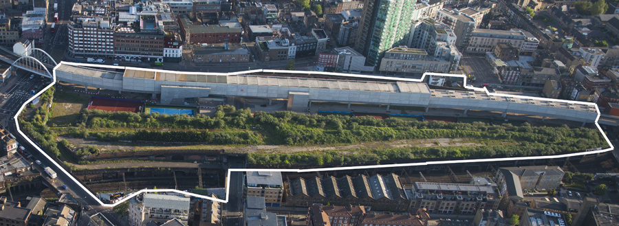
It would make a nice, if short, High Walk, running between Brick Lane and the Great Eastern Street/Bishopsgate junction with great views over to the City, Spitalfields and Hoxton/Shoreditch. The section is just 260m long, not much longer than the station alongside it, but it would surely be popular, just looking at the crowds that throng the City to the west during the weekdays, and Brick Lane to the east at the weekends.
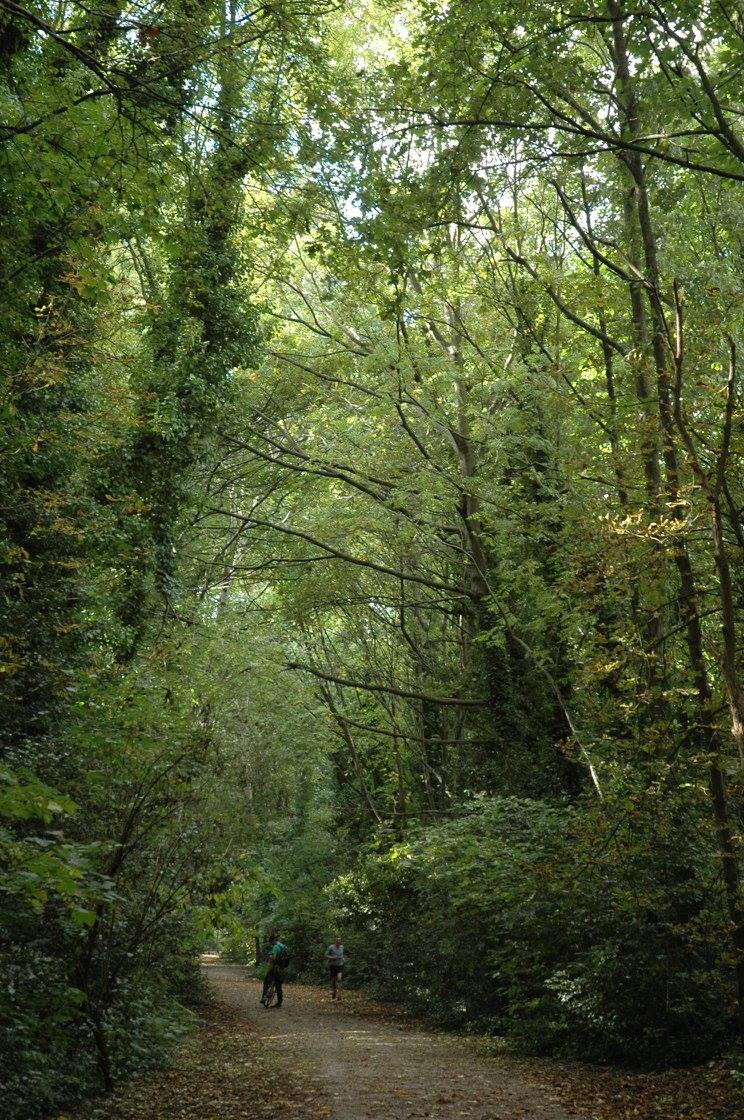
A small part of the site, specifically the arches forming the remainder of the Braithwaite Viaduct, is likely to be preserved and remodelled, rather than being demolished, as part of a huge new mixed use development “The Goodsyard” that is due to start at the end of next year and finish a few years later. Photos of the potential design suggest a high level walking above the arches, connecting the various new buildings as well as Brick Lane with Bishopsgate, along with lower level paths including one in the arches themselves. A campaign against it (more), concerned mainly with overshadowing of the existing Shoreditch area, has already led to some design changes. Existing railway tunnels (Central and Great Eastern) underneath the site mean that piling locations are limited however, and so elevated walkways (which generally wouldn’t require piling) are likely to remain part of the final design. It won’t be a quiet path sneaking through an old industrial area, rather a route connecting various new blocks, so it won’t feel like a hidden secret, but it will be raised, it’s in an appropriately gritty area for a “High Line” (check out this atmospheric passage very close by!) The space has been off limits to the public for 50 years. Looking forward to the transformation.
See also: BBC News article about the “High Line” potential of the Bishopsgate Goods Yard.
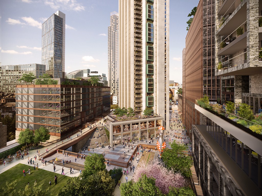
Photos from The Goodsyard (the developer’s website). Aerial image/map from More Light More Power.