This is one in a series of posts about possible High Lines for London. Look out for the next one tomorrow.
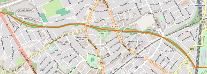
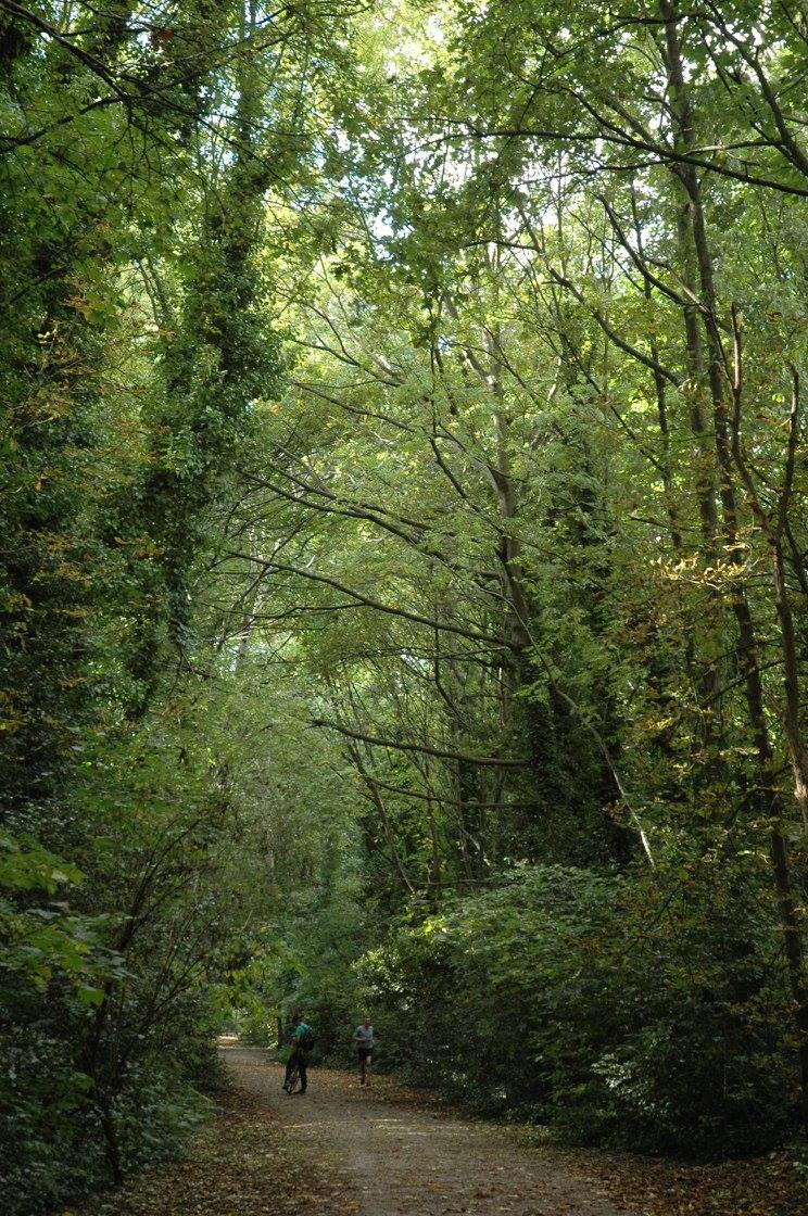
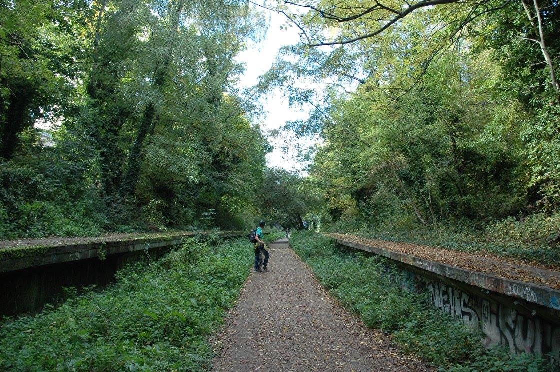
The Parkland Walk is possibly the closest thing that London has to a High Line, right now. It’s on a disused railway line (including platforms at one point), it has some short elevated sections, and it already exists as a walking and cycling route. However, the character of the area is very different. The line runs through a solidly residential, leafy (and hilly) part of north London, connecting Finsbury Park to Highgate. The feel is more of a woodland walk, with some tall mature trees which lessen the sense of threading through the city and observing it, and make the route feel rather enclosed and claustrophobic in places. It’s a lovely route for dog walkers or people cycling west from Finsbury Park – although the route is generally not surfaced and so is difficult to ride on or keep your feet dry after rain, when the path turns to mud.

It’s a shame – more could be made of it certainly, however I rather suspect the local patronage rather like it as it is, and would never allow the trees to be cut down to improve the view*. It’s a lost link, a slightly neglected but useful enough rail trail through some deliberately overgrown flora, rather than a place to view the city from. The route is not secure or lit and is open at night, so suffers from some anti-social problems. Having said that, I would love to have it as a jogging route on my doorstep.

* In my description above I omitted mentioning a branch section of the route, that runs from Queen’s Wood (near Highgate) to Alexandra Palace and does in fact include some spectacular views southward to central London.
Above: The platforms at the old Crouch End station. Below: Tall trees enclosing the Parkland Walk route. Photos by Alyson Fletcher. Map is Copyright OpenStreetMap contributors, ODbL, with cartography CC-By OpenStreetMap.

2 replies on “High Lines 5. Parkland Walk”
[…] Parkland Walk […]
[…] Parkland Walk […]