A couple of years ago, I wrote about a number of possible London “High Lines”, London’s own raised “rail trail” to New York City’s High Line and Paris’s Promenade Plantée.
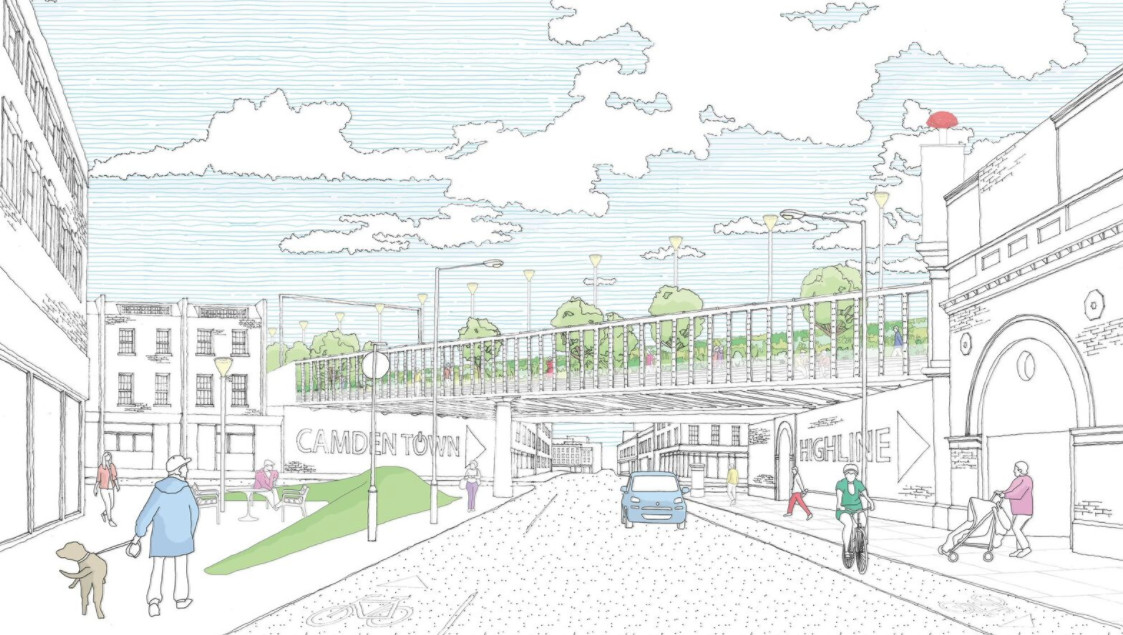
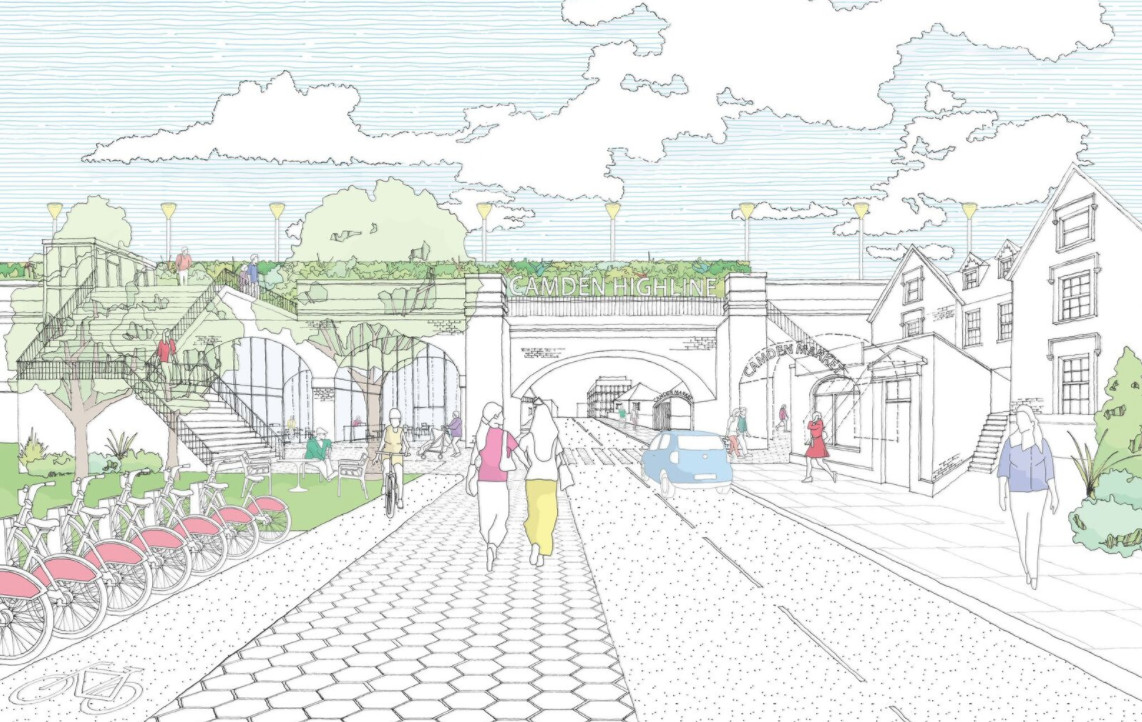
Now it looks like the best one could be happening. Camden Town Unlimited, the business improvement consortium for the area, are proposing a Camden Highline, which would run for around 0.8km, between Camden Town and Camley Street, which is itself 0.8km from the back of King’s Cross Central.
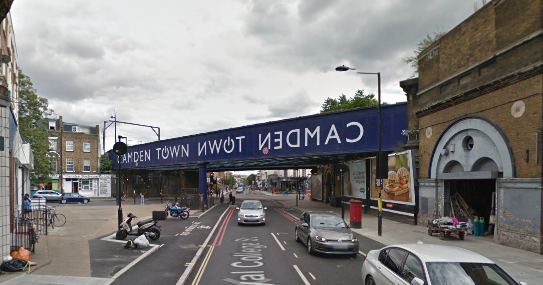
Below is the start of the route, there is a little park here which could provide space for an access point. From the photo, it looks like the operational railway is close, but the route quickly moves away, around the back of Camden Road station.
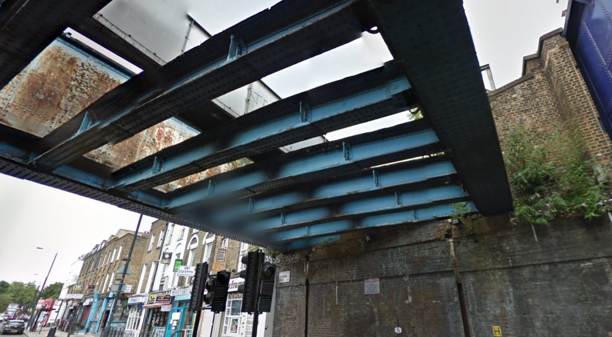
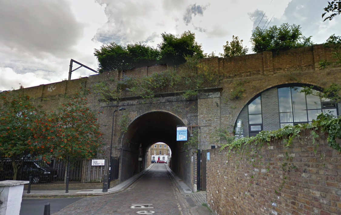
Although there is no public access to the route itself currently, you can get a good idea of the space and route, from Google Streetview, looking up from the streets below. I have included views from below the various bridges, in this post.
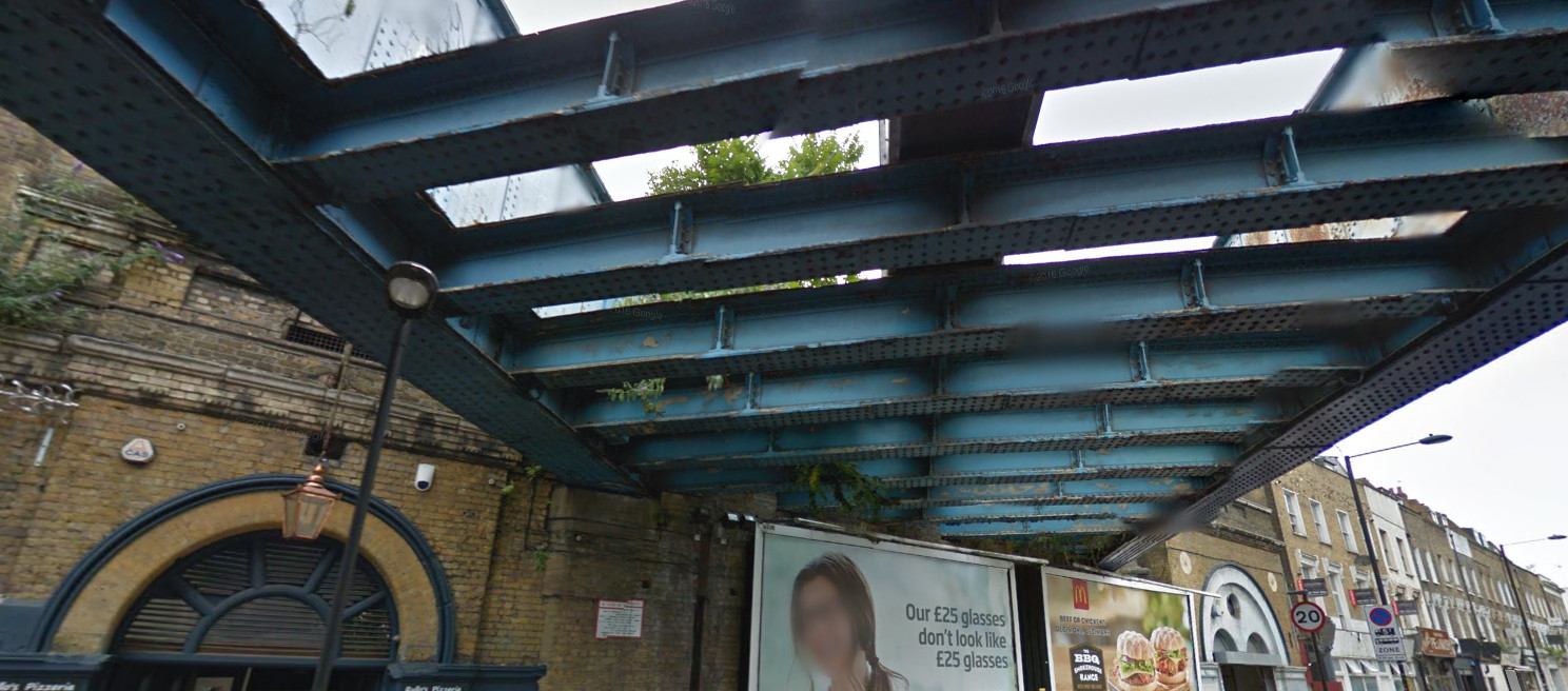
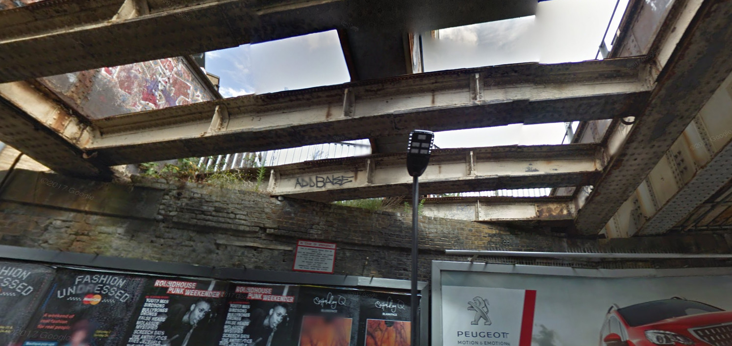
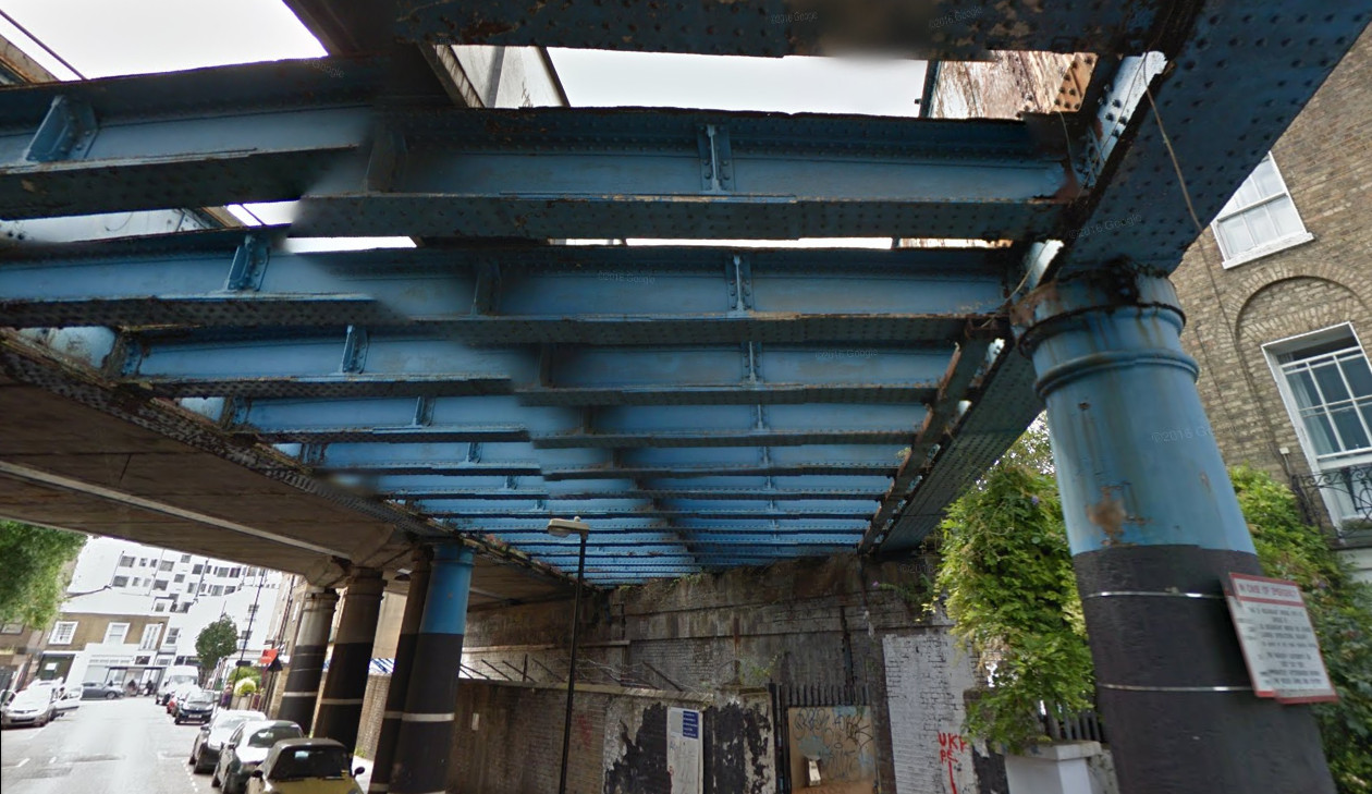
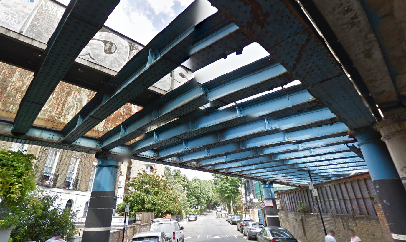
The route uses a surprisingly wide corridor of unused railway, mainly alongside the existing North London Line but including a substantial hidden space behind Camden Road station, and seven bridges across eight roads. The route is as wide as 18m in some sections, with narrower sections at either end.
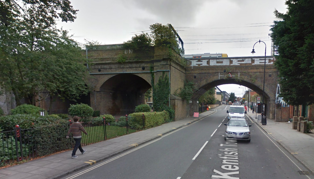
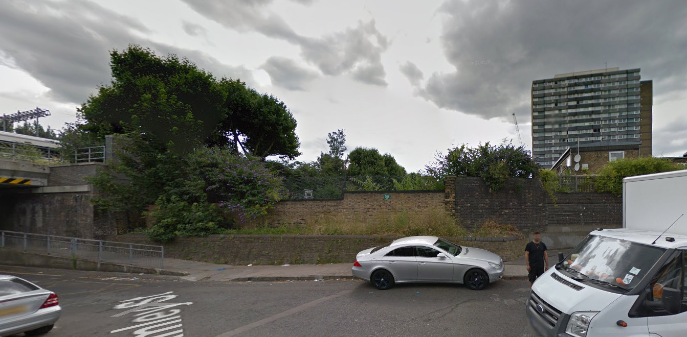
The route ends here (photo below), at Camley Street. To the left is a new bridge for the railway. There is actually still space on the new bridge here for a narrow walkway, and a ramp on the other side means no need for a new access point. However, the land in front is also currently empty, and so could quite easily accommodate a new route down, potentially as part of a wider development of the plot.
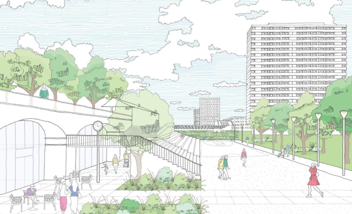
See the official Camden Highline website. All photos (c) Google. Illustrations from Camden Town Unlimited.
One reply on “Camden Highline”
[…] Camden High Line makes a small appearance in the Camley Street Neighbourhood Plan published by Camden Council in […]