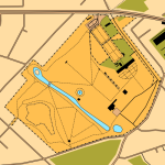
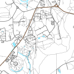
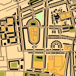
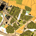
With the OpenStreetMap spatial dataset of the world, and the excellent map rendering toolkit Mapnik, it’s quite straightforward to make theme-based maps, such as OpenCycleMap, OpenPisteMap, OpenHikingMap and OpenWhitewaterMap.
All very well, but what about orienteering maps? So, here is OpenOrienteeringMap. For the moment, it just covers the UK, but there’s no particular reason why this couldn’t be extended to cover the world (except that the postcode-finder only works in the UK). [Update – it now covers almost the whole world!]
The map is created on-the-fly, using a process developed by the OSM community that I’ve built on for my day job at UCL. The map is created on a quite fast computer, but because it is created on-demand for areas people haven’t visited before, it may run slow if a few people are looking at it at once – and you’ll need a fast internet connection as the map is delivered as PNGs.
There are two styles – Street-O and Pseud-O.
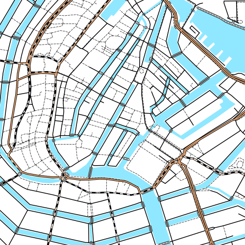
Street-O
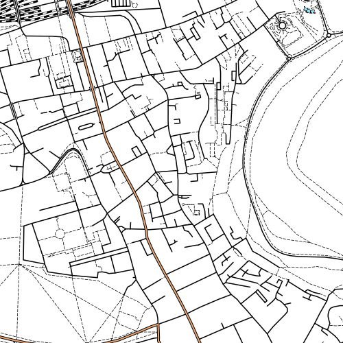
This attempts to recreate the “minimalistic” feel of street-O maps, as used for informal street events in London by the central clubs SLOW and LOK, and in other areas around the UK. Only roads, tracks, paths, rivers/lakes and railways are shown, the maps are high-contrast (black on white) and have little colour. The few colours that are on the map – for major roads and water features – are the “official” ISOM standard colours for these features.
OpenStreetMap data has been used for one street-O before – my Bow race in September, although here the data was pulled into Quantum GIS and a vector-based PDF was produced, allowing maps to be printed at high resolution.
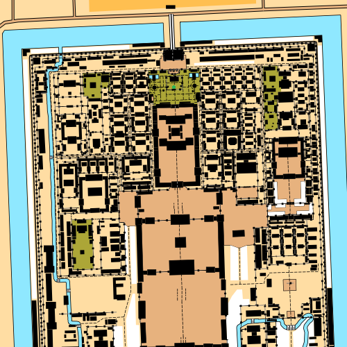
Pseud-O
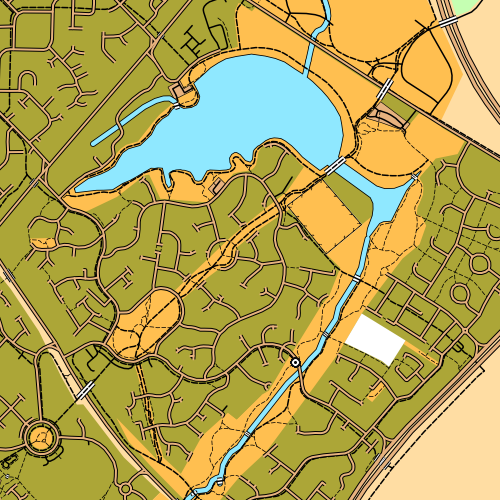
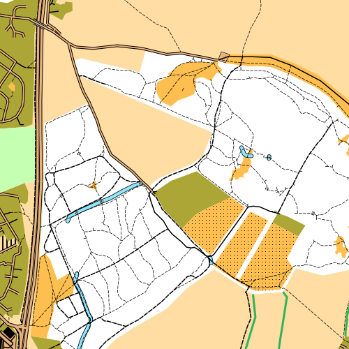
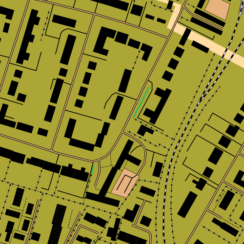
This is a less standard but richer map. It uses many more features in the OSM data, where they correspond to regular orienteering features. OSM data, for ~99.999% of areas, is not detailed enough to correspond to that on an ISOM map, but it might be sufficient for basic urban orienteering events in a few places, or the odd trail challenge. As the OpenStreetMap dataset continues to be added to and enhanced by its contributors, so the orienteering map will increase in complexity and accuracy. Again, the colours are as officially defined in ISOM. For now, it’s fun to look at the whole of the UK with the ISOM look-and-feel, but let’s not run any serious events with the map! (More on ISOM orienteering maps and OSM.)
The postcode finder uses the c. 70000 postcodes supplied by NPEMap (with contributions from FreeThePostCode and the postbox locator project) so should get you to within a mile or two of where you want to be, in urban areas.
Explore the map and let me know about any big problems with the cartography or functionality via the comments here. I’m not interested in missing data complaints for an area though – OSM is a project produced by the efforts of volunteers, so if your area is blank, it’s because there isn’t an interested local. So go and map the area yourself, and add it to OpenStreetMap so the whole world benefits (and let me know so I pull in the updated dataset!)
More information about how the map is made is here.
Top: Good to see the efforts of the Milton Keynes mapping party I organised in May make it to an orienteering map. Upper Middle: Edinburgh’s Old Town. Lower Middle: Shotover Wood, near Oxford. Bottom: Great detail in Putney, thanks to an enthusiastic local contributor in the area.


