I was at Velo-City 2013 (a major urban cycling trade conference) in Vienna last Thursday, to present my latest work on the Bike Share Map, EUNOIA’s link to bikesharing, and a CASA research paper update. It was great to be able to attend the conference for free, thanks to winning a ticket in the raffle at last year’s Velo-City in Vancouver.
My paper was presented as the last of four talks, specifically on bikesharing, in the mid-morning session. Despite the session venue being hidden away catacombs deep underneath Vienna City Hall, the room was full with an audience of around 100.
First up was Albert Asséraf of JCDecaux, talking about the history of JCDecaux-built bikesharing systems, staring with Vienna itself 10 years ago:

The talk focused on Paris which is as large as the other JCDecaux systems put together:

…although London is closer than the top statistic suggests – London’s, at 8100 bikes, is ~44% of Paris’s 18300 (and London is set to get another ~2000 in the next 6-9 months).
Next up was Hans Dechant, talking about Citybike Wien. The Viennese system is one of Europe’s cheapest – after a 1 EUR one-time verification charge, it’s completely free, as long as journeys are under an hour. It was important to structure charges for longer rentals on a progressively steeper scale, so that bikesharing doesn’t complete directly with daily and longer hires from the established bicycle rental firms:

The talk also highlighted the intensification (increased density of docking stations) that has taken place in the Viennese system over the last couple of years, moving it to be more in line with other large systems across the world:

There was also discussion of the automatic maintenance system, where bikes are locked in the system to be picked up for preemptive maintenance, after they have done a certain number of journeys or if they haven’t been used for a long time, even if the users haven’t flagged issues on the bikes.
The third talk, by several people, was on the soon-to-be-launched, but much delayed, Budapest “Bubi Bikes” bikesharing system, now likely to appear in summer 2014 – they are just moving to tender now. The system will be 85% funded by a European Union grant. Trip analysis has been performed to identify the areas of the city most likely to be used for bicycle trips and therefore define the system boundaries – mainly on the east side of the river.
Finally, I was on, and talked about the link between my main project (EUNOIA) and bikesharing:

I also launched a new global view of my Bike Share Map:

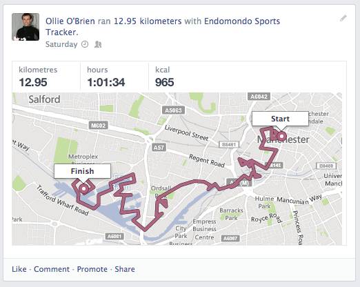
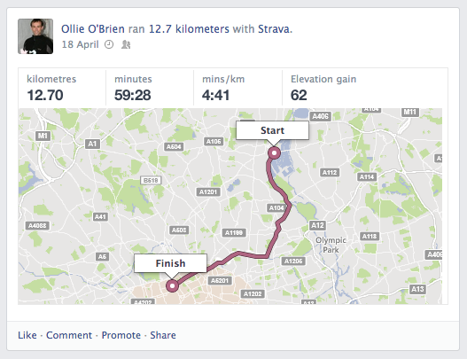
Finally I touched on some ongoing and potential CASA research into bikesharing, including one possible project we are considering studying the spatial analysis of individual users in London:

One metric that all three of the previous speakers in the session had mentioned was the average distance between docking stations – it is clearly one which is therefore valued by operators and city/transport authorities, so I included some results of a spatial analysis of bikesharing systems – including docking station density – in the talk.
(I’ll aim to upload most of the slides from my talk in the next few days.)
After the session there were two further main sessions on the day – the first being a round table and the second a “speed date” – in both cases, interested parties gathered around a table in the room and the speaker gave a 10-15 minute talk on their project, then people moved to another table and the talks were repeated. It was a good, lively format – the speed date in particular had 91 tables and 7 “slots” and so I was able to learn about projects as interesting as NextBike‘s technology, the ScratchBikes system (Newcastle) which, via their new Grand Scheme brand, is coming to Headington (Oxford) as OxonBike, a wearable cycle light that changes colour/intensity when turning or braking, and an ambitious project to build a cycleway on the east side of Manhattan – which includes blocking off part of the East River and building a power station underneath a new lake!
As well as the talks there were various opportunities to see trade stands – one thing that struck me was the number of companies now offering bike sharing systems. While my research focus has been on the large, “heavyweight” systems that offer many docks and so present many interesting opportunities for spatial analysis, it is clear that there is a large additional movement towards small-scale, cheap systems which can add this new form of public transport system to an urban area of any size.
One regret from the conference was that there was little presence from cycle companies or operators in the Far East. I would loved to have learnt more about the systems and technologies being used there, but Velo-City 2012 proved to have more coverage from Asia.
I had to leave for my plane as the final event of the day was getting underway – a mass cycle parade using bikeshare bikes and various other borrowed bicycles, around Vienna. Various streets were getting blocked off by the police for the event as I headed towards my bus. The benefit of having a conference organised by the city authorities!