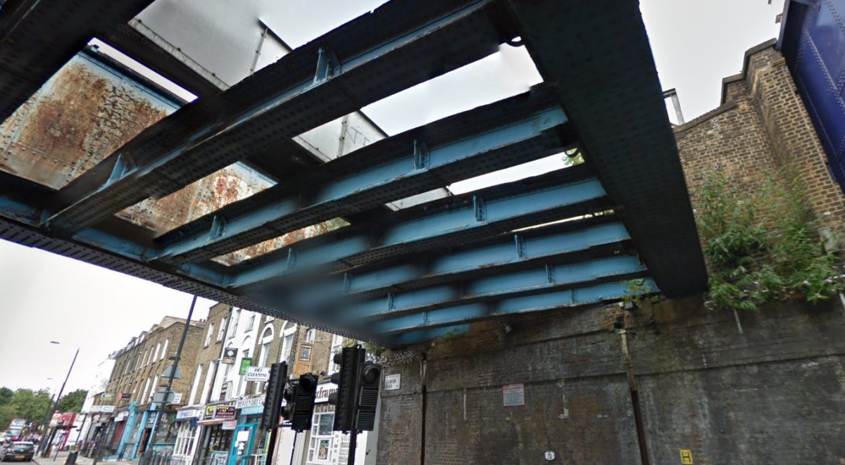
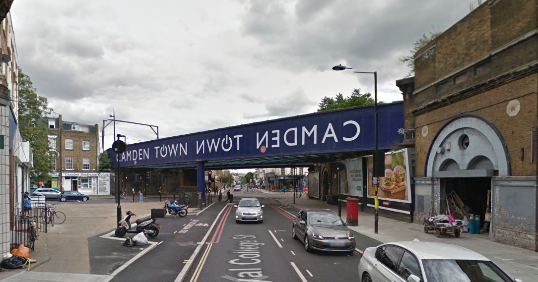
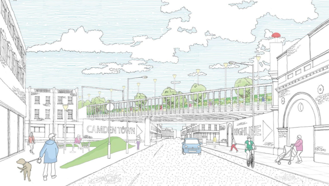
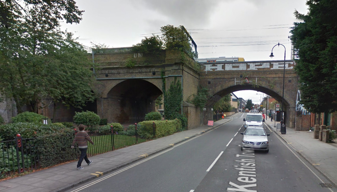
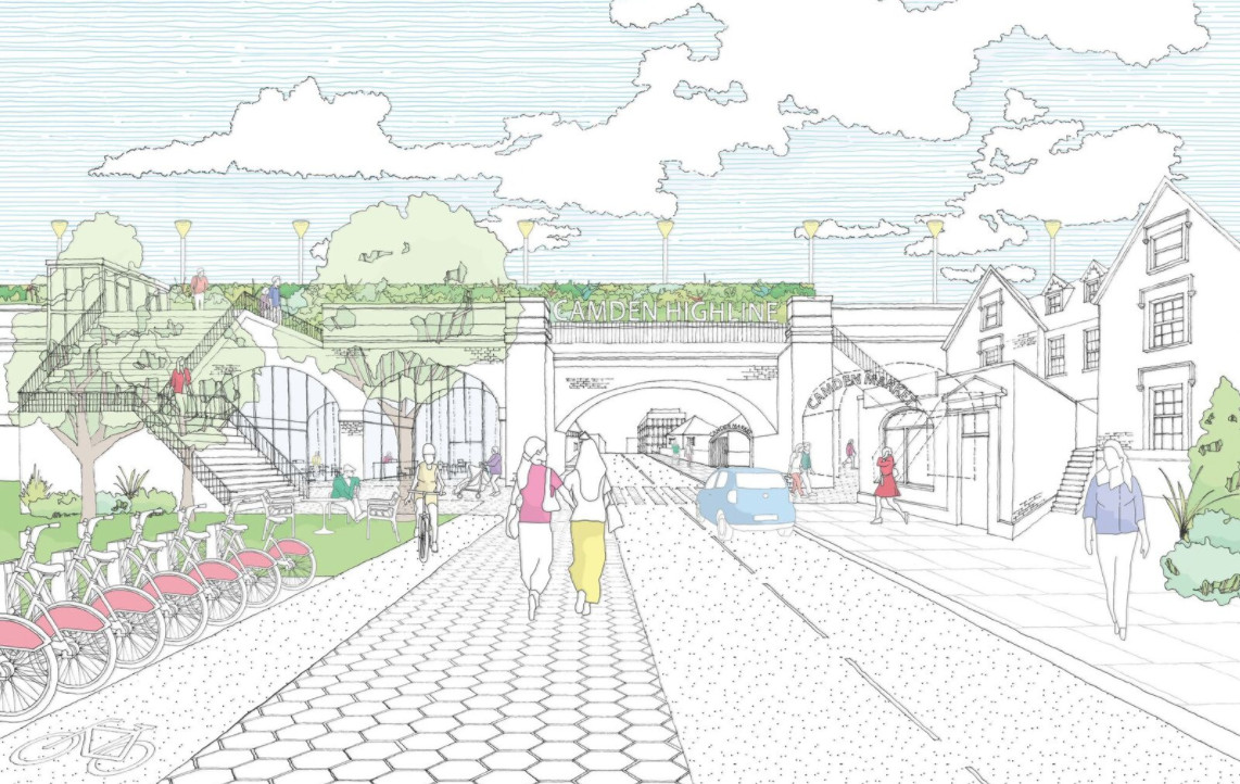
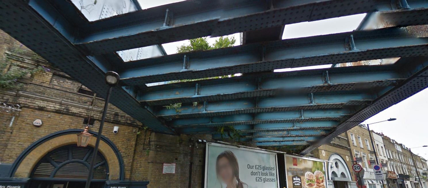
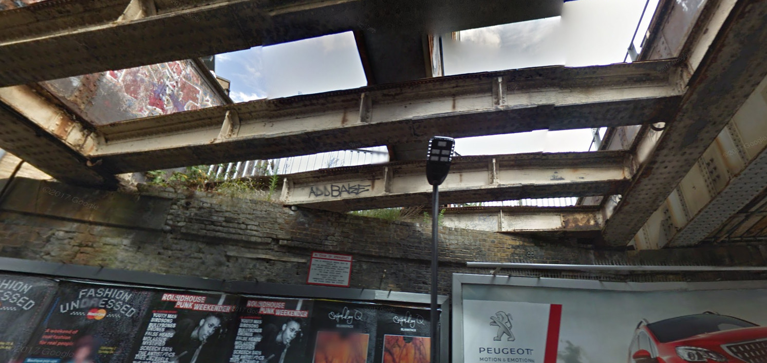
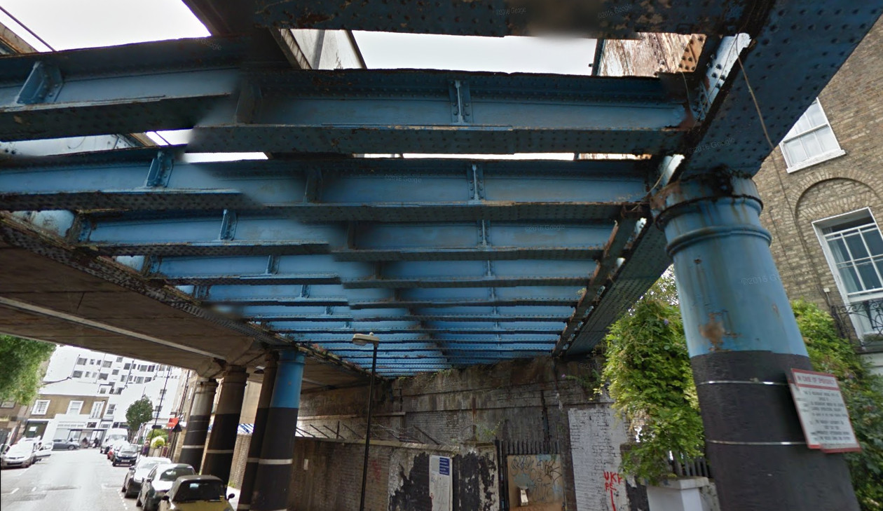
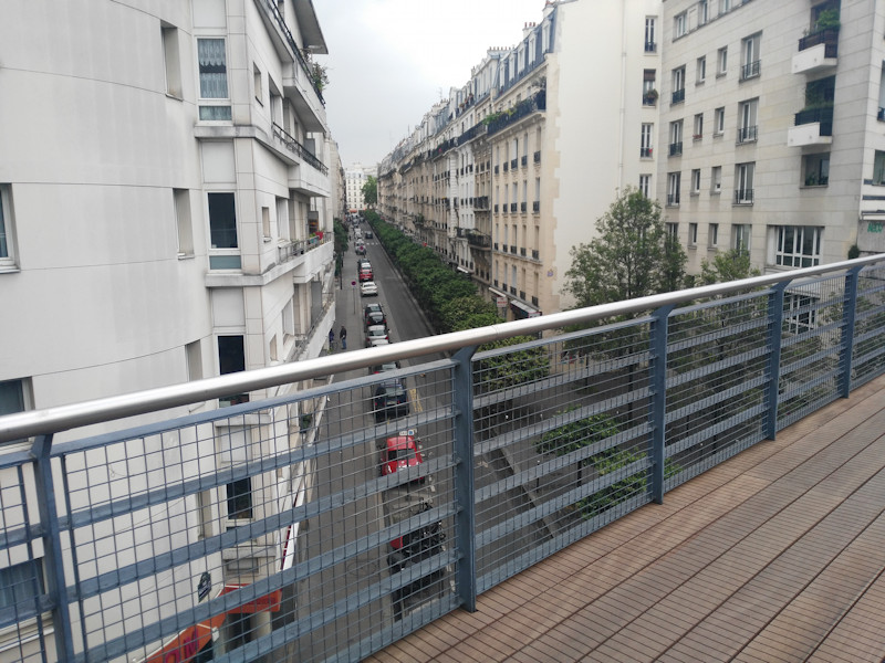
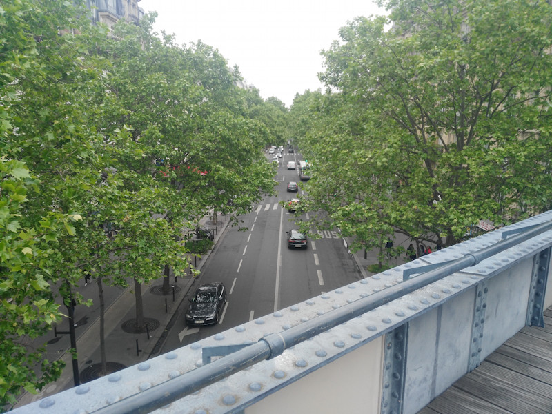
As part of a brief trip to Paris, I recently walked the western part of the Promenade Plantée raised linear park or “rail trail”, in the southern part of the city. The Promenade Plantée, also known as the Coulée Verte, predates the well known “High Line” in New York City (and a potential London version) by many years. Its western part is around 1.6km long – about half as long as the NYC High Line and twice as long as the proposed one in Camden. It is raised a few metres above the streets, on a long viaduct, allowing for the characteristic “street scene from above” views:
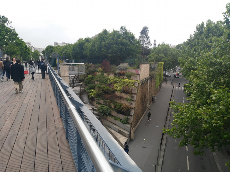
Around half way along, the route crosses a long, wooden bridge (not an original from the time when it was a railway line) which dips down into a park in a surprisingly gritty and unattractive part of Paris, before continuing eastwards under the street level, in a series of tunnels and cuttings. This is also a key access point to both sections, with a set of steps and a lift:
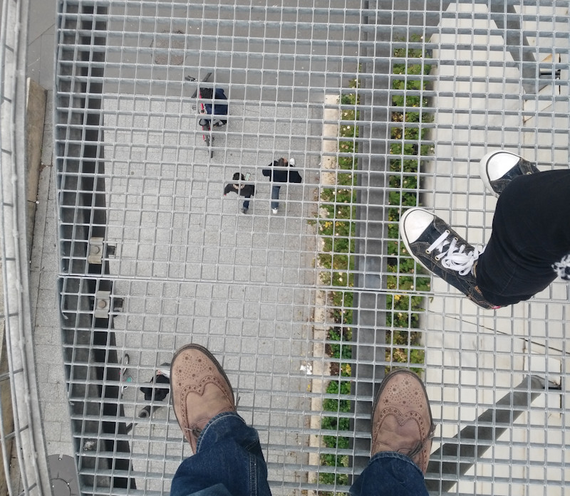
There is also a short section here where you can look down beneath your feet:
I didn’t walk along the section section, which is always open and accessible to bicycles as well as pedestrians. The western section is pedestrians only and is locked at night.
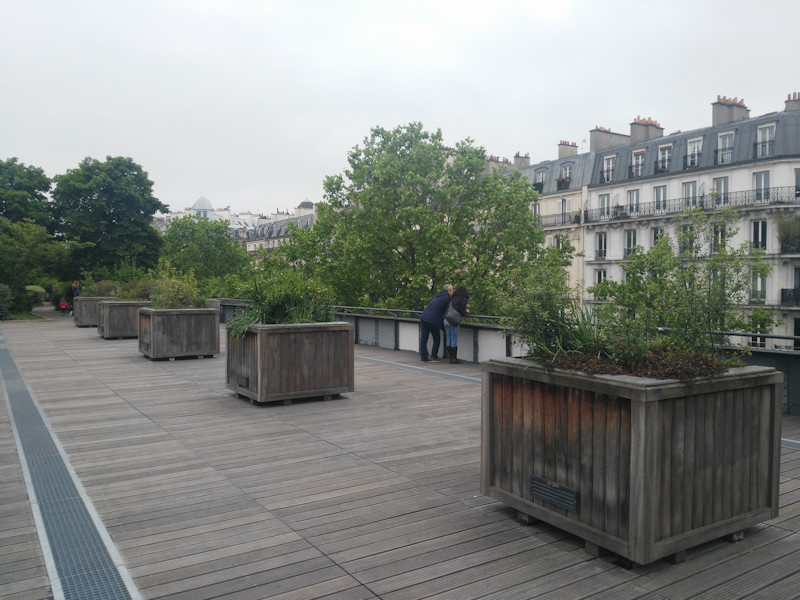
The park, being a former railway line, is generally narrow, but does broaden in a couple of sections:
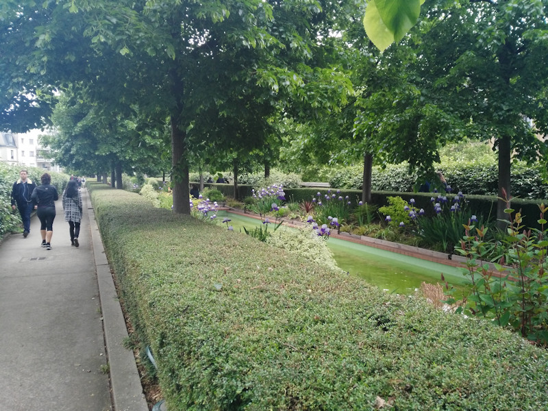
It also has some interesting detail, for example, near the western end, the walker passes under a number of wooden trellises, full of plants. Further on, the path splits into two, passing either side of a narrow but long pond, bordered by hedges but with a couple of small bridges connecting the two paths:
A section with tall bamboo on either side, creating a natural tunnel, was also of interest.
There was a little bit of antisocial behavior in a couple of sections, but this didn’t spoil the general atmosphere. It was surprisingly busy, with a mixture of local walkers, families (it was a Sunday afternoon) and quite a lot of joggers.
Some of the bridges are the original railway bridges. These have solid iron sidewalls, but the wooden decking has been slightly raised here, with a safety bar added to the top of the sidewall, so that users of the walkway can easy (but safely) see over and along the streets below:
Like the New York City version, there is the interest of passing through (and over) a building, which intrudes on to the route in a dramatic way. Unlike New York City’s version though, there is no trace of the original railway track, with the ballast and rails completely replaced by a mixture of wooden decking and concrete paths, along with plenty of flowerbeds on either side.
It was good to walk the Promenande Plantée, and great to see it so well used, considering its age and that it is not in perfectly maintained condition. Even though it is only 1.6km along, I took a good hour to do the walk, allowing plenty of time to study some of the murals and other small artworks along the route, both official and unofficial (including a piece by Invader), as well enjoying what is essentially a long, thin public roof garden in the heart of a metropolis.
