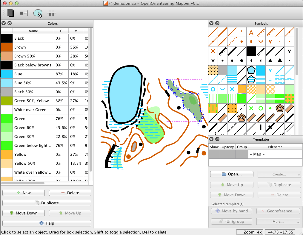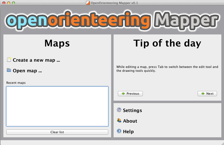
Thomas Schöps is developing a suite of open-source tools, Open Orienteering, including an application for creating orienteering maps called Open Orienteering Mapper (not to be confused with my own OpenOrienteeringMap. He is updating his blog regularly with development process, and today announced an alpha release of Mapper. The application runs on both Windows and Linux and shortly, following an imminent patch, Macs. The impact of a completely free, cross-platform application for creating “proper” orienteering maps, should not be underestimated. Having used both OCAD (PC only, expensive) and Illustrator/MapStudio (expensive) to create/edit maps in the past, and having failed to get Inkscape/MapStudio to work, I am quite excited about this. At the moment, ISOM maps can be created, but there are plans to include ISSOM (sprint standard) symbols sets soon. I am looking forward to creating my first OO Mapper map!
A not of caution – if you want try the software, be aware that is in an early (alpha) state and that you will need to have development tools installed in order to retrieve it (through git) and build and run it – the application is not ready yet for non-developers!
Mapper, along with the other applications in the Open Orienteering toolset, is being managed through Sourceforge and there is a bug tracker which already contains lots of ideas for further expanding the application.

2 replies on “Open Orienteering Mapper”
Those screengrabs appear to be from a mac – yours?
Yes (possibly my one at work).