Alexander Baxevanis, maker of the excellent free Cycle Hire Map app for the iPhone, has obtained a list of 227 proposed sites for the eastwards extension (and expansion of the existing area) of the Barclays Cycle Hires scheme through a Freedom of Information request on MySociety’s What Do They Know. Unfortunately TfL didn’t provide the exact locations of the proposed new docks, rather just the street names, or occasionally junctions.
I have taken the list and geocoded it – using Google Maps and Google Fusion Tables as a first pass, then manually geocoding the 40 or so that failed using OpenStreetMap data.
Red dots show the proposed new locations, with yellow dots showing the existing stands as of January 2011.
You can download the locations from the Google Fusion table here or view a larger version of the map here. See the FOI response for the source data set.
Very important caveats: Because the names are often only street names, the “dot” representing the new dock is placed fairly arbitrarily along the street – in reality, the actual location may be quite far along the street from this place. Consider that these locations are simply my guesses. Also, it is really important to emphasise these are the proposed locations – TfL has not yet started the planning process or consulted with the councils/residents yet. It is likely that quite a few of these will not actually be built, or will be relocated elsewhere, come later this year or early 2012 when the expansion goes live.
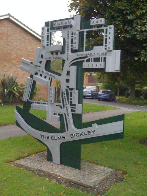
Along the way I discovered a number of curiosities, such as:
- the official name for College Green – the bit of grass outside the Palace of Westminster where MPs are often interviewed – being Abingdon (or Abington?) Street Gardens.
- a street that has just been born (photo) and doesn’t appear on any public web maps except OSM (now).
- the various “marketing” names for the new residential skyscrapers appearing around Canary Wharf, such as Streamlight, Ability Place and Pan Peninsula.
Indeed, many of the proposed sites are outside these large new residential blocks, and also outside many of the DLR and train/tube stations in Tower Hamlets – unlike the initial launch of the scheme, there seems to be no shying away from placing stands right next to the stations, where commuters are likely to be piling onto them.
(I was very impressed with Openlayers/Canvas heatmaps the other day, so the first picture above is a heatmap showing dock density, for the fully extended scheme. The background for that picture is OpenStreetMap.)


 Next door, the Leadenhall Building is due to commence construction in early 2011, it will be 225m high and also has a nickname, the Cheese Grater. Just up the road is the Heron Tower, 230m high and was completed in July, it opens early next year. Not far away is 20 Fenchurch Street, nicknamed the Walkie Talkie because of its bulging design, which is due to start construction any day now and will be 160m high. Finally, just across London Bridge, is the Shard, which will be the tallest of all – the main core has already risen 60 stories high, and the building will be 310m high when complete, again in 2012, making it the tallest building in the European Union. A photograph of the Shard under construction is on the right.
 An artist’s impression of the Pinnable is on the left. Three of the four buildings on the right of the picture have now been demolished – 30 St Mary Axe, popularly known as the Gherkin, remains, but the two square buildings will soon instead be replaced with the Cheese Grater and the Walkie Talkie. The building at the front has also been demolished and replaced with a new mid-level office building.