Categories
Uncategorized

Day 1 – The North Highlands

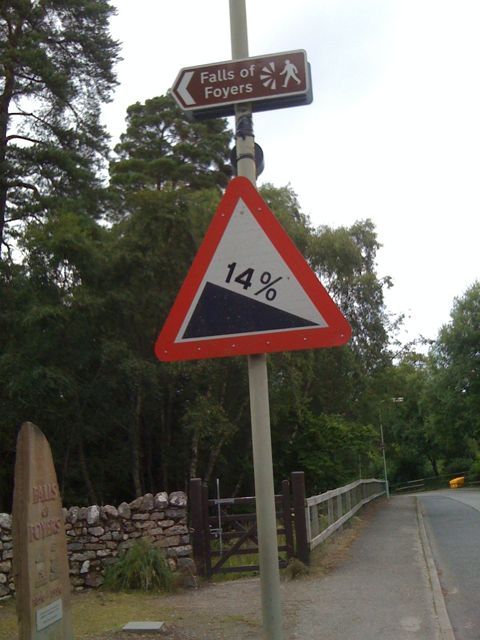
Today started with, as the forecast promised, steady rain and a fairly strong northerly wind. After having a huge fry-up breakfast at the excelleny and friendly Pentland Hotel, we headed west, climbing a number of hills, with glimpses of empty golden sandy beaches and cliffs on the north coast, interspersed with low cloud. Although the rain eased a bit, it wasn’t a day to hang around and we got to the 50km mark without any significant breaks, having passed around 20 cyclists in all on the way to John O’Groats – all more heavily laden than us.

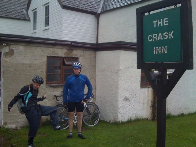
We decided at Berridale to take a more direct road to Altnaharra, saving 4 hills and 9km near Tongue. The shortcut, through the now empty Strathnaver (which suffered greatly from the Highland Clearances) was suprisingly pleasant. Unfortuantely the Altnaharra Hotel, our backup lunch stop, had gone bust, so there was nothing for it but a further 12km up the biggest hill of the day, to the splendidly isolated Crask Inn, arriving at 3pm and the 100km mark, to find a roaring log fire and hot soup – just what we needed.

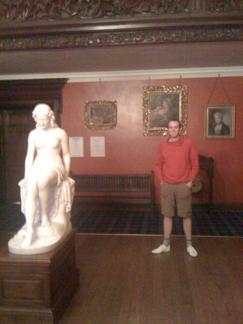
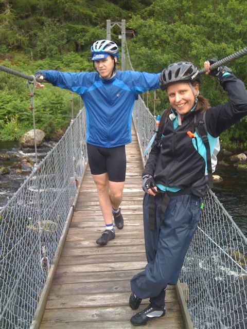
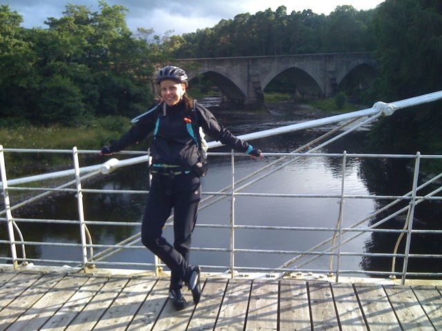
Finally it was just a long descent down to Lairg and Invershin, stopping at the bizarre gift shop (a Harrods outpost) at the Falls of Shin, where the sun came out, and crossing the firth by a spectular footbridge – not the one pictured. Then it was through the gates and a final climb to Carbisdale Castle, with its passageways and marble sculptures, for another massive meal and a game of pool.

136.5km in 6h25 moving time.

Tomorrow, Loch Ness! Hopefully it will be a bit drier.

Categories
Uncategorized

Day 0 – The Prologue

After a long (8 hour) but uneventful train journey through seemingly endless bands of rain, broken up with various cups of coffee and a foot-long Subway sandwich at Inverness, we made it to Thurso on time, the girls about an hour back in the car.

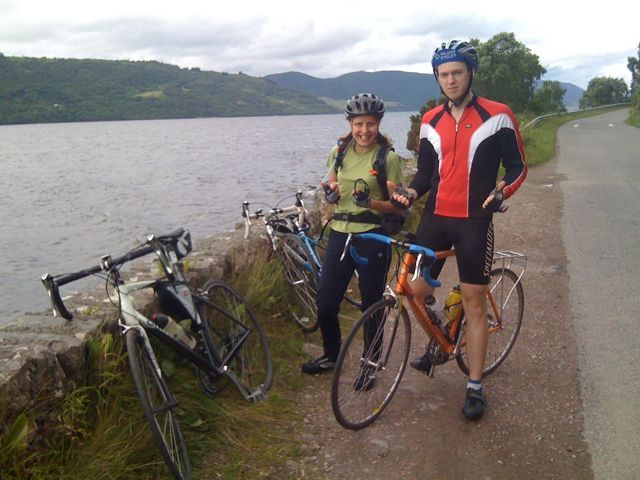
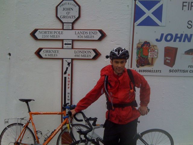
Dan and I checked in to the Pentland Hotel and immediately set about our prologue – a 64km round trip to John O’ Groats, under time pressure – we needed to be back in 2h30 to get dinner at the hotel. Taking the back road out, it was dry to start but we soon got caught in a heavy rain shower – quite scary in the extremely bleak surroundings of rural Caithness. After a while though, we made it to John O’ Groats which was basically a giant car park and a small, pretty harbour with views to Orkney.

With dinner beckoning we didn’t hang around. The rain stopped for the return leg along the coastal road. After the first, and only considerable hill, I struggled to match Dan’s 38kph pace and started to see stars. A bit of slipstreaming got me sorted and we sped past Mey and picturesque Dunnet Bay, making it back with 5 mins to spare.

2h25 for 64km with an average of ~22kmh out, 30kmh back – ouch. We burst into the hotel bar in full cycling gear and carbed up. Tomorrow is more than twice as long, with 10 hills, so the pace will be a lot slower…

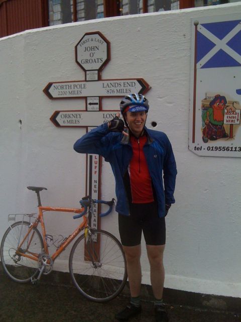
Caption for the pic of Dan: Cavendish who?

Categories
Uncategorized

Day -1

Ok cycle last night from Edinburgh Waverley station to parents – 10.6km in 32:30. Half in the rain, half dry. However, properly raining this morning, so gratefully acceping lift in to station with parents. Weather forecast for next three days now looks very wet indeed, will be a real challenge for us – and the bikes – but should hopefully clear up by Monday when we go through Glencoe.

Categories
Uncategorized

Moblogging

Hoping to be able to blog my Big Cycle, mobile reception and iPhone battery-life notwithstanding! Trying out the WordPress for iPhone application, with photo adding feature. Impressed so far.

Here’s what will be waiting for me when I get back home…

Categories
OpenStreetMap

Map Cake

One of my favourite bits from the State of the Map conference last weekend was when they bought out the cakes:

sotmcake

If you are familiar with London’s geographical layout, you might recognise the big green blob on the cake on the right as being Regent’s Park. I think my slice ended up being part of the waterfront in Amsterdam.

A random event? Not quite. When mapping parties are being organised, the most efficient way to ensure that the area in question gets good coverage from the different mappers on the day, is to look at the existing map and divide it up into sectors – mappers then bag one or more sectors that they will concentrate on. Such a map is known as a “cake” and each of the sectors are known as “slices”.

An an example, here’s the mapping party “cake” for the next London mini-mapping party that’s being held on Thursday evening, collecting POIs around King’s Road in the west of the city:

2, 4, 11 and 12 are alreay nabbed. If you fancy a slice, put your name down on the wiki page and then get mapping on Thursday evening!

Categories
Conferences OpenStreetMap

State of the Map 2009 Review

sotmcrowds

Just back from StateOfTheMap, the OpenStreetMap community’s international conference. I missed the first two conferences but made it along to this year’s in Amsterdam. I skipped the “business day” on Friday and joined the conference for the Saturday and Sunday, when it reverts to being a community conference.

My favourite talks were:

  • Andy Allan showing off some advance cartographic techniques that make “other” maps beautiful and how we could apply them to OpenStreetMap’s default renders.
  • Muki Haklay’s talk on measuring data quality and completeness – turning the “unknown unknowns” into “known unknowns” is something that is becoming increasingly important as the community starts to “market” its data to a wider audience.
  • Mike Miguski’s Walking Papers was very well received and is a brilliant way to make mapping POIs and simple areas easier, without using a GPS. He also showed off some of the lovely looking Stamen map designs.
  • Richard Fairhurst’s lightning talk on Potlatch. Some people might have tried Potlatch a year back, thought “urgh” and gone back to JOSM, but the editor has come a long way recently. Version 1.1, released last week, allows drag-and-drop placement of POIs. Version 2.0 is also on the roadmap and promises a closer look to the Mapnik “default render”.
  • The “State of Japan” talk, while not revealing anything particularly innovative, was very funny and well presented – a simple “nice picture, map before, map after” sequence of slides for each of several shrines and castles in the country. The mapping is very high quality too and shows that OpenStreetMap is more about streets. As an aside, there seems to be a bit of an international “contest” to get the most detailed zoo mapped on OSM at the moment. Amsterdam’s zoo has the individual cages on it, as do several others. London’s is way behind, don’t even have the perimeter on yet.
  • Some of the international lightning talks, from people who had won scholarships from far-off places to come to the conference, were great. I particularly liked Abdel Hassan’s talk about OpenStreetMap in Cairo. GPS receivers have only been legal in Egypt since March!
  • Jorgen Topf’s primer on “proper” GIS and using OpenStreetMap data with it. A topic which the OSM community needs to know more about! It was only the tip of the iceberg, although there’s only so much you can say in 15 minutes.
  • Martin Lucas-Smith’s CycleStreets – attractive looking solution and with a good routing engine that will only get better as the data gets more complete.
  • There was a talk on browser-based rendering of OSM data, which looked pretty exciting.

It was also interesting, for me, to be able to compare with the OSGIS UK conference I also went to, last month.

What I liked more about StateOfTheMap was:

  • This was far and away the most social conference I’ve ever been to. Admittedly already knowing quite a few of the delegates, thanks to UK mapping parties and the London mapping marathon pub trips, helped break the ice, as did being in a city like Amsterdam which naturally lends itself to post-conference relaxing at a canal-side venue. Being stuck in a Travelodge on the edge of a town in the Midlands, or in a modern university campus when the students aren’t around, is never going to have the same opportunities.
  • The full-scale use of technology – not really surprising for a conference by a technology community of course, but it was good to see it being used well, e.g. the Twitter Wall on one of the big TV screens.
  • The conference venue was really nice! New, bright, colourful, with a view of the city. Very Web 2.0. The food and drinks were also excellent. The catering staff even got invited onto the stage at the closing session to be thanked for their good work.

What I liked about OSGIS UK more was:

  • The talks were more consistently high quality. SoTM’s talks were very variable in quality, some of them needed hooking off the stage with a walking stick!
  • All the speakers turned up to speak. Sounds obvious really, but at least two of the SoTM talks were skipped due to speakers not being present. Particularly disappointing was that one of them was the talk I was most looking forward to (about Processing.)

Noticeable about both conferences was:

  • More people than I expected from the big commercial players in the field, despite them in some ways being “rivals” to the concept of open source and OpenStreetMap.
  • Presentations were always short – never longer than 30 minutes and frequently never longer than 15 minutes (or 10 minutes in the case of the “State of Country X” talks, or even 5 minutes for the lightning talks). Even the keynotes were short. This is, by the way, a Good Thing.

sotmcopters

Categories
Conferences OpenStreetMap

OSM Data & Choropleth Maps

Here is the presentation I was planning to give as a “lightning talk” at the StateOfTheMap conference this weekend. However, there were more speakers than places for these sessions – and quite a few of the speakers failed to appreciate that, by running over the five-minute limit, they would be denying other people the chance of speaking! So I didn’t get to present it. However, you should be able to get the gist of what I was going to say through the contents of the slides.

Categories
Conferences OpenStreetMap

State of the Map

I’m off to the State of the Map conference in Amsterdam on Friday. It will be interesting to compare with the OSGIS UK conference a couple of weeks ago.

I almost certainly won’t be live-blogging the event, thanks to data-roaming charges, but if I get around to setting it up, there might be a few text-message-powered short entries.

The schedule is full to bursting, with two parallel streams of talks and a workshop stream. I should, if all goes to plan, be giving a “lightning talk” on how we are using OpenStreetMap data here at UCL, in particular as a “context layer” for laying on choropleth maps. However, there are a lot of lightning talks and only a limited time in the schedule for them, so we shall see. Certainly looking forward to hearing about Steve8’s crowd-funded mapping expedition to Antigua last month! In the “main talks”:

  • Muki Haklay’s talk about quality should be interesting. OSM certainly has “quantity” now, with the ever-increasing numbers of crowd-mappers, thinking about how we measure and display the accuracy and completeness of data is something that is going to become more and more important.
  • Being a closet cartography enthusiast myself, Matt Millar’s stylesheet talk, and Andy Allan’s advanced cartography talk, will be of particular interest.
  • Sunday’s “secret geo-celebrity” keynote soudns intriguing.
  • Peter Miller’s talk “The Good, the Bad and the Ugly”. Hmm!
  • Laura Slivinski’s TerpNav (OSM for pedestrianised areas.)
  • Vladimir Agafonkin’s Online map visualisations made easy – viz is always a crowd-pleaser and the IT-orientated community behind OSM is capable of some great off-the-wall viz thinking thanks to coming from a “different” background than the traditional geographers.
Categories
Leisure Orienteering Events Log

Dunwich Dynamo 2009

img_0389
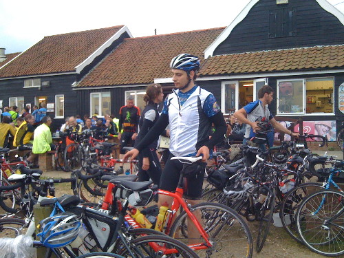
This is an annual 180km self-supported ride from London Fields in Hackney, to the beach at Dunwich in Suffolk. As it’s a free turn-up-and-go event, it’s all quite informal – people just turn up at the Pub in the Park and then start to head off. The catch – it’s a night time event. I started at 8:50pm…

I was riding with Jenn and Michal, also trying out various new accessories I’d bought in the day – a fell-runners’ bag, saddle bag, frame bag, padded shorts, a proper cycling top, cleats and a couple of bike lights (which proved to be woefully underpowered.)

There most have been close to a thousand cyclists in this year’s Dynamo, taking advantage of the calm, dry and clear weather, although it got surprisingly chilly quite quickly.

The pace was far faster than I was expecting – once we had passed the highest point of the route (Epping Forest) the pace really went up and we pushed hard until the food stop at 100km, arriving at around 1:15am. The pace then on was also quite fast, at one point a wonderful 10km with the Dulwich cycling club peloton. Then, as dawn broke properly, we started to tire a lot.
img_0395

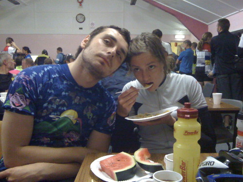
We finally made it to Dunwich at 6:10am (ride time 7h 23, + 2 hours of breaks) where the cooked breakfast in the cafe was very welcome – the rain shower, the first of the night, wasn’t. We took a risk, cycling 8km through the second rain shower to get the first local train of the day. 20 others had the same idea, but the guard let us on, and three hours later we were back in London. An extra 50km to cycle to Ipswich for the main-line trains was thanfully avoided.
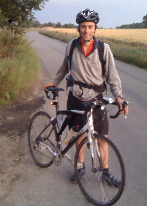
img_0404The high point was tearing down the Suffolk Coastal District part in the back of a fast-moving (~35km/h) peloton. The low point was definitely waiting for the rain to clear at Dunwich and dreading the cycle to Ipswich. The most memorable sight was seeing a long stream of flashing red lights in front of me, sweeping around invisible corners.

Despite the pain near the end, it was great fun and good training for when I set off to cycle the length of Britain (Thurso to London) in a couple of weeks time.

We spent a couple of hours taking breaks, including nearly an hour at the 100km feed station. The first 100km was virtually without stopping, but the latter section had more frequent stops, as Michal’s bike started to make strange mechanical sounds and so he limited his speed. We also took a couple of wrong turns later on, although we found straightforward shortcuts back onto the main route. At one point, Michal and I thought Jenn, who was generally the fastest of us three and was ahead most of the time, had missed a sharp turn and headed off to the coast 10km south of Dunwich. However, after a bit of worrying, it turned out she had made the turn after all.

On the back of a disturbed night the night before, and obviously no sleep at all last night, I don’t feel too bad right now. However I did nod off numerous times on the packed train back from Ipswich to London.

Drinks-wise I got through 1 litre of Lucozade and around 1 litre of water, + coffee at the feed station and at the cafe at the end. Food I ate included some chewy sweets, three Power-bars and few Clif Shot Bloks. At the half-way point a had a pasta salad plate and a couple of bananas. At the end I had an SIS sport bar and a Clif bar, as well as the cooked breakfast. As a consequence I didn’t bonk at all and feel fine now!

[osm_map lat=”51.886″ long=”0.779″ zoom=”8″ width=”500″ height=”350″ gpx_file=”/files/2009/07/04-jul-09-20_53.gpx”]
img_0407

Categories
OpenStreetMap Orienteering

The COMO Project and Seek ‘n Spell

Michael (of the Okansas blog) has recently mentioned two quite interesting orienteering-related ideas:

1. The COMO project, which is looking to use OpenStreetMap data to create orienteering maps. This is very similar to (although more advanced than) my own work – I looked at creating Street-O orienteering maps from OpenStreetMap data for my dissertation for my MSc in GIS last summer, and additionally built an Osmarender-generated/OpenLayers-based based map for viewing and printing such maps easily – although I never got around to releasing it publically. I’ve subsequently thought of extending the process for “proper” orienteering maps, while keeping the data in the OSM database. The COMO project is looking at creating “proper” orienteering maps, converting OCAD data into a form which can be read into a special database separate from the main OSM one.

As an aside, it would probably be easier not using the OSM flow or API, but rather a PostGIS database to store the data, with GIS applications such as Quantum GIS to do the editing. Mapnik as the rendering engine is considerably easier to set up, configure and use than Osmarender, too.

2. Seek ‘n Spell, which is an iPhone game, uses the internal GPS, the ability to broadcast your location to a central server, and aerial photographs, to create multi-player games where you can run around, collecting letters to spell words. See Michael’s post and also the video – the action looks uncannily like a combination between SLOW’s Mobile-O and a “normal” mass-start score orienteering event. The game-view reminds me of watching an animation of a race in Routegadget. The concept and the finish quality of the app looks great but the name is a dreadful pun – hopefully they’ll rename it something a bit snappier.