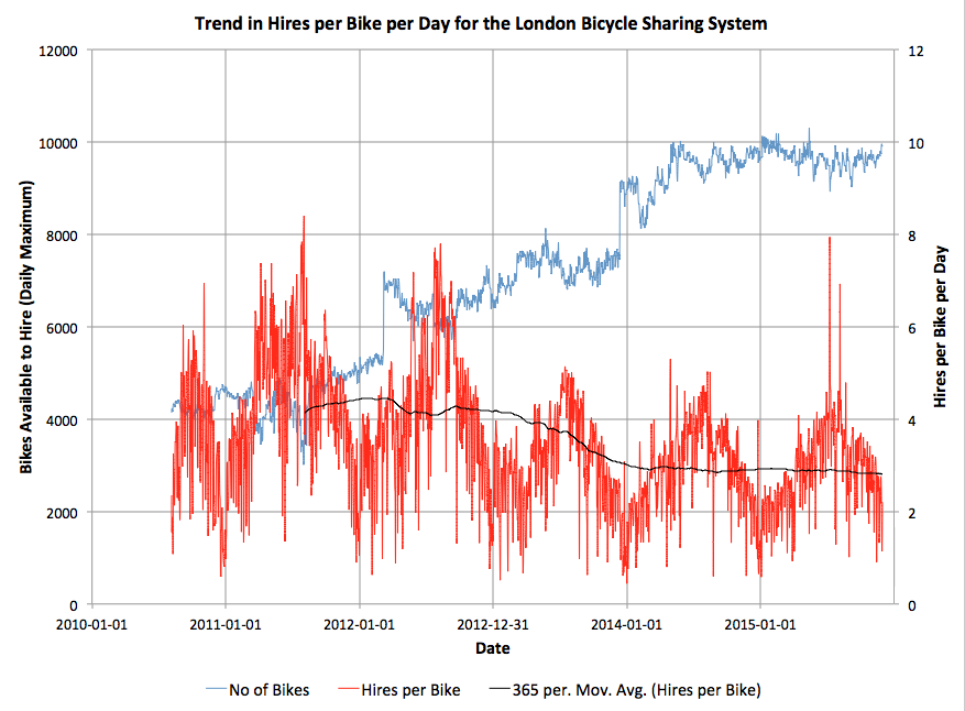
Here’s an interesting graph, which combines data on total journeys per day on London’s bicycle sharing system (currently called “Santander Cycles”) from the London Data Store, with counts of available bicycles per day to hire, from my own research database. The system launched in summer 2010 and I started tracking the numbers almost from the start.
You can see the two big expansions of the system as jumps in the numbers of available bikes – to all of Tower Hamlets in early 2012, and to Putney and Fulham in late 2013. Since then, the system has somewhat stagnated in terms of its area of availability, although encouragingly at least the numbers of available bikes has remained constant at around 9500, suggesting that at least the operator is on top of being able to maintain and repair the bikes (or regularly source new ones). Some of the individual bikes have had 4000 trips on them. There is a small expansion due in the Olympic Park in spring 2016, but the 8 new docking stations represents only a 1% increase in the number of docking stations across the system, so I doubt it will have a significant impact on the numbers of available bikes for use.
There is a general downward trend in the numbers of uses of each bike per day, since the halycon Olympic days of Summer 2012, over and above the normal seasonal variation, which concerns me. The one-year moving average recently dipped below 3 uses of each bike per day, this summer, and I am not confident it will pick up any time soon. (The occasional spikes in uses/bike, by the way, generally correspond to sunny summer bank holidays, tube strikes and Christmas Day).
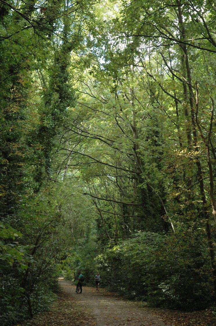
To rejuvenate the system and draw in more users, rather than relying on the established commuter and tourist flows which likely dominate the current usage, I am convinced that the system needs to expand – not necessarily in terms of the number of bikes or docking stations, but in its footprint. I think the system would be much improved by dropping the constraining rule on density (which approximates to always having one docking station every 300m) and instead redistributing some of the poorly performing docking stations themselves further out. It’s crazy that, five years on, there are no docking stations in central Hackney, Highbury, or Brixton, three areas with an established cycling culture and easily cycle-able into the centre of London. Conversely, Putney and Tower Hamlets simply don’t need the high density of docking stations that they currently have, except in specific areas (such as around the train/tube stations in Putney, and Canary Wharf).
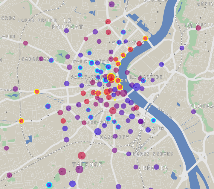
Ideally we would have a good density of docking stations throughout cycleable London but, as docking stations (and bikes) are very expensive, I would suggest that TfL instead adopts the model used in Bordeaux (below). Here, the city retains a high-dense core serving tourists, commuters and other centrally-based workers, but adopts a much lower density in the suburbs, so that, while tourists can still “run into” docking stations they don’t know about in the centre thanks to the high density, local users can benefit from the facility in their neighbourhood too, even if it requires a little longer walk to get to it.
Technical note: Before November 2011, the London numbers included bicycles that were in a docking station but not available to hire (i.e. marked as broken). This exaggerates the number of available bikes (and correspondingly reduces the number of hires/bike/day from the true value) in this period by a small amount – typically around 3-5%, an effect I am not considering significant for this analysis.
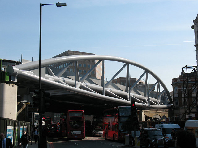
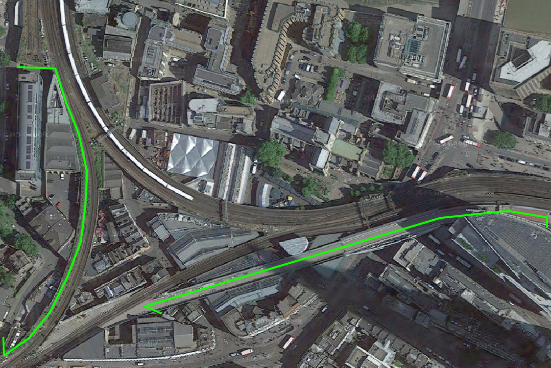
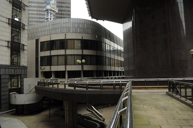
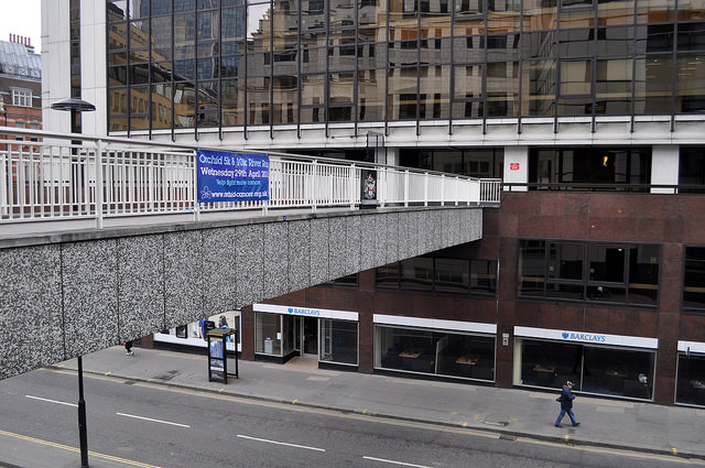
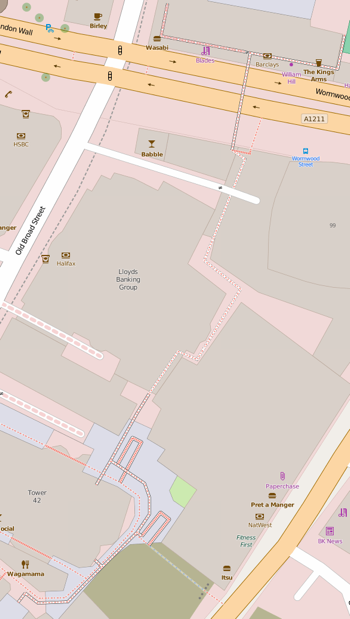 The first is the link that runs behind Tower 42 (the former Natwest Tower). It used to head east to what is now the Gherkin, however the bridge here (across Bishopsgate) was severed when the Pinnacle construction started. The Pinnacle project was then cancelled and the concrete stump is now disappearing again, to be replaced by another skyscraper – but with no bridge link restored. The other link heads north, right through the Lloyds Banking Group building, before coming to another bridge across a busy road. This is still there – for now – but leads to a dead-end, as its steps down were recently removed. So, the urban explorer here has to take the steps down just before the road.